


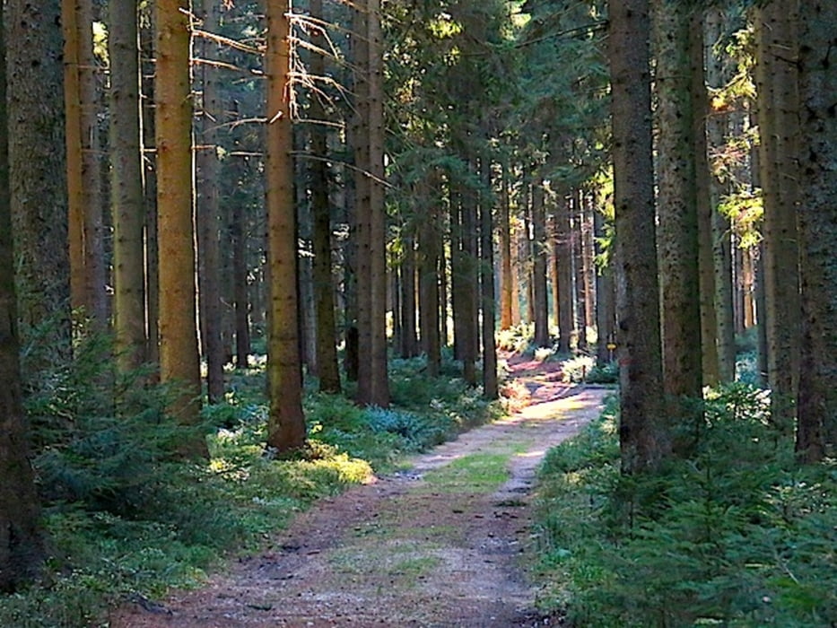
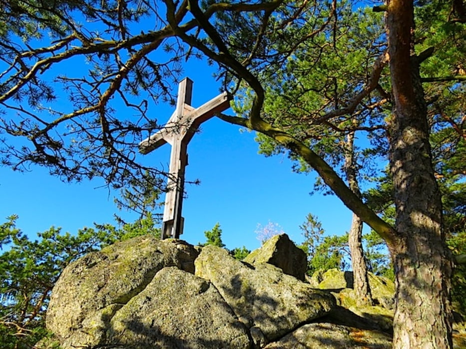
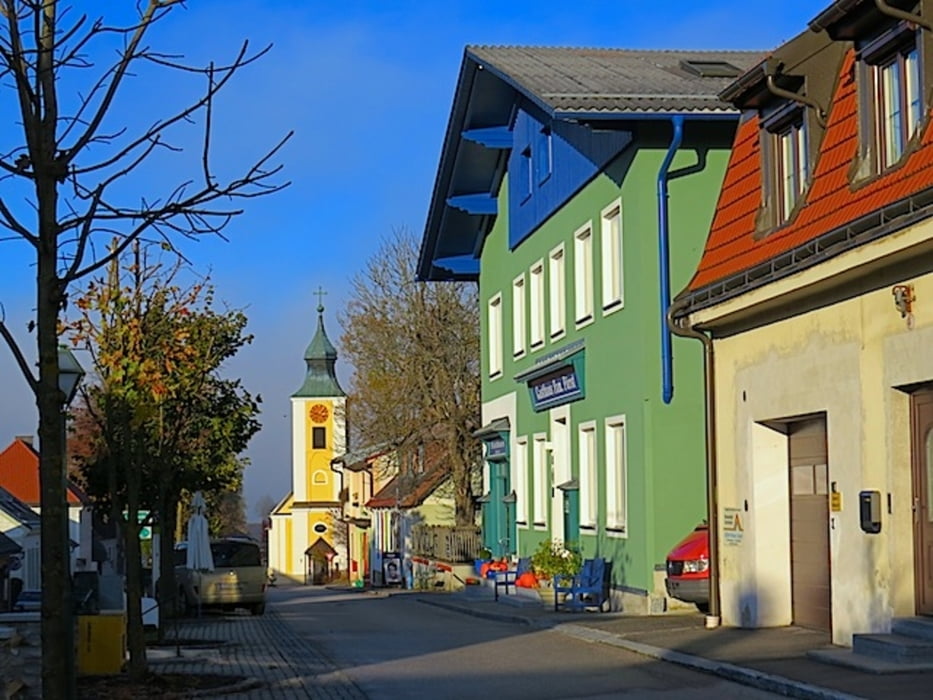
Südlich von Gutenbrunn erhebt sich der bewaldete EIN-Tausender Ochsenstrauß (1022 m), den wir heute umwandern. Der Panoramaweg mit der Nr.41 bringt uns auf dem uralten Kirchenweg nach Ulrichschlag und weiter auf den Hirschenstein. Durch die angrenzende Wiese geht es steil hinauf. Hier biegen wir rechts ab und durchwandern eine Birkenallee. Auf einem weichen Waldweg geht es nun bis zum Wallfahrer-Kreuz. Von hier geht es durch den Gemeindewald Richtung Ulrichschlag. Unterhalb des Ochsenstrauß geht es durch den Wald Richtung Oedhof. Kurz vor dem Oedhof zweigt der Weg Richtung Gutenbrunn ab. Wir wandern aber noch hinab zum Bauernhof und weiter auf den Hirschenstein. Von hier geht es am gleichen Weg zurück bis zur Kreuzung oberhalb des Oedhofes und weiter nach Gutenbrunn.
Mehr Info und Deine Meinung in meinem Wanderblog - schau doch mal vorbei!
Karten:
Download Pläne von der Homepage in Gutenbrunn
Austria Map Ost (BEV)
Wander-, Rad- und Freizeitkarte WK071 1:50.000, herausgegeben von Freytag & Berndt
Further information at
http://www.zwalk.at/panoramaweg-2/Tour gallery
Tour map and elevation profile
Minimum height 863 m
Maximum height 981 m
More about the tour author
|
|
Jonny |
Comments

Per Auto - Parkplatz bei der Kirche in Gutenbrunn
• nördlich Zwettl Richtung Ottenschlag, Martinsberg, Gutenbrunn
• östlich Donautal, Spitz, Elsenreith, Ottenschlag, Martinsberg, Gutenbrunn
• südlich Westautobahn A1 Abfahrt Ybbs, Würnsdorf, Martinsberg, Gutenbrunn
• nördlich Zwettl Richtung Ottenschlag, Martinsberg, Gutenbrunn
• östlich Donautal, Spitz, Elsenreith, Ottenschlag, Martinsberg, Gutenbrunn
• südlich Westautobahn A1 Abfahrt Ybbs, Würnsdorf, Martinsberg, Gutenbrunn
GPS tracks
Trackpoints-
GPX / Garmin Map Source (gpx) download
-
TCX / Garmin Training Center® (tcx) download
-
CRS / Garmin Training Center® (crs) download
-
Google Earth (kml) download
-
G7ToWin (g7t) download
-
TTQV (trk) download
-
Overlay (ovl) download
-
Fugawi (txt) download
-
Kompass (DAV) Track (tk) download
-
Track data sheet (pdf) download
-
Original file of the author (gpx) download
More about the tour author
|
|
Jonny |
Add to my favorites
Remove from my favorites
Edit tags
Open track
My score
Rate