
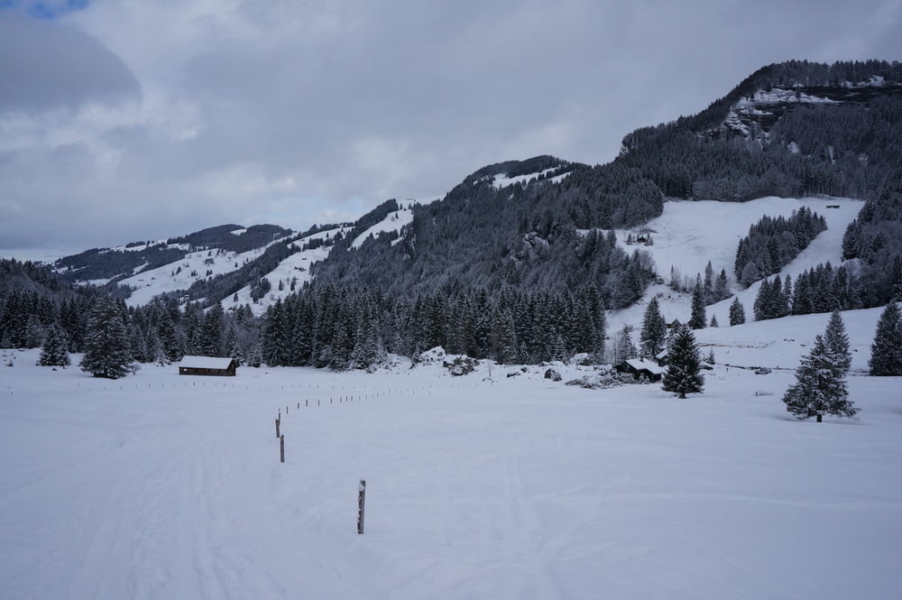

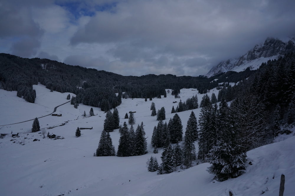
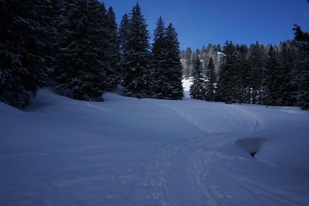
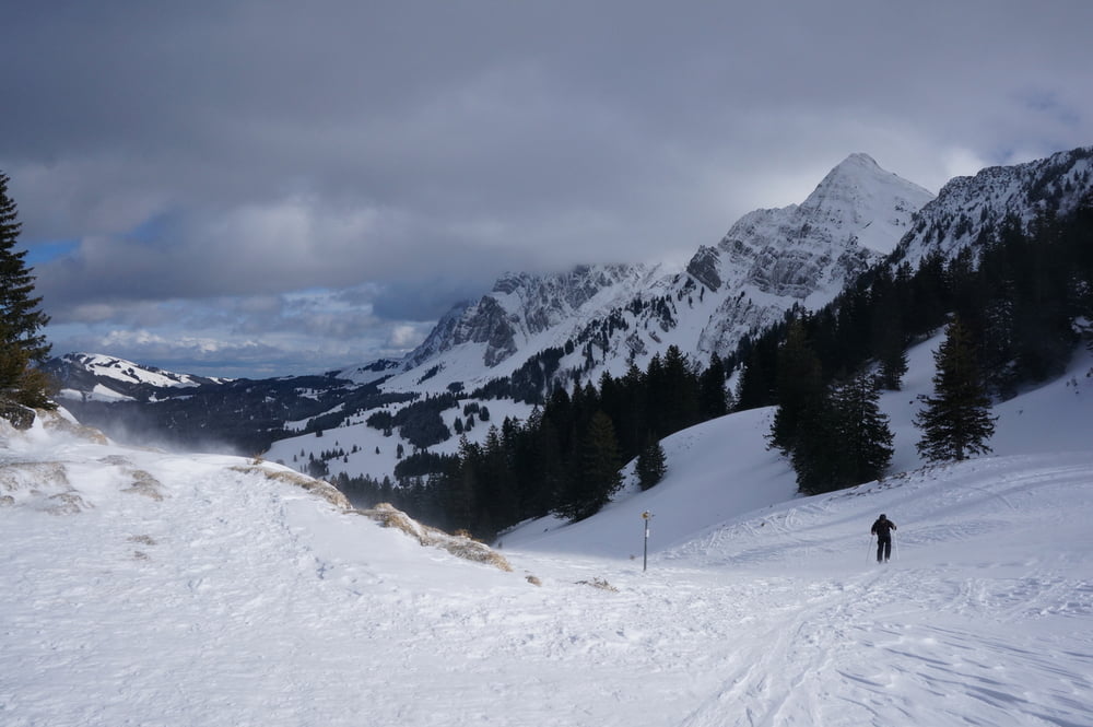
Gefunden habe ich die Tour im Prospekt "Schneeplausch", heruntergeladen auf www.toggenburg.org. Dort ist die Tour technisch und konditionell als "mittel" eingestuft, was ich bestätigen kann. Im Prospekt ist die Tour mit Zielort Stein beschrieben. Ich habe die Route nach der Passüberschreitung abgewandelt und habe Kurs auf Nesslau genommen, um dort die SBB-Station zu erreichen.
Gewandert bin ich die Tour im Winter 2013/14.
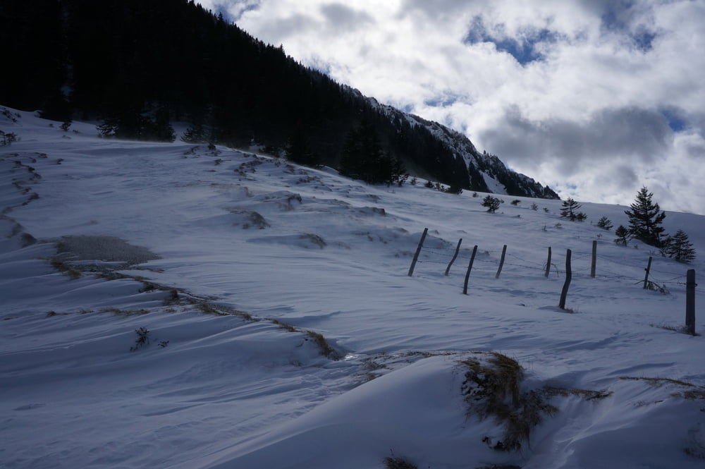
Tour gallery
Tour map and elevation profile
Minimum height 750 m
Maximum height 1458 m
More about the tour author
|
|
s-braeutigam |
Comments

Mit der SBB bin ich angereist bis Nesslau. Von dort verkehrt ein Postauto Richtung Schwägalp (Talstation der Säntis-Bahn). Der Start der Wanderung beginnt an der Haltestelle Bernhalden ungefähr auf halber Strecke zwischen Nesslau und Schwägalp.
Zielort der Wanderung war die SBB-Station Nesslau.
GPS tracks
Trackpoints-
GPX / Garmin Map Source (gpx) download
-
TCX / Garmin Training Center® (tcx) download
-
CRS / Garmin Training Center® (crs) download
-
Google Earth (kml) download
-
G7ToWin (g7t) download
-
TTQV (trk) download
-
Overlay (ovl) download
-
Fugawi (txt) download
-
Kompass (DAV) Track (tk) download
-
Track data sheet (pdf) download
-
Original file of the author (gpx) download
More about the tour author
|
|
s-braeutigam |
Add to my favorites
Remove from my favorites
Edit tags
Open track
My score
Rate