Login

Forgotten password?

Cookies have to be accepted!
Your browser's cookie functionality is disabled. Please enable this functionality.

Not a member yet?

Register now
Login

Available for registred users only

Log in to use this feature.

Forgotten password?

Cookies have to be accepted!
Your browser's cookie functionality is disabled. Please enable this functionality.

Not a member yet?

Register now
Filter
Categories
Advanced filters
  • Distance (km)
  • Height
Save filters Reset filter

TrackRank

QRCode

Technical data

Distance31,1 km Height591 m Way down582 m Duration02:30 h:m Date01.12.2014
Scores Author User Landscape Fun factor Fitness Technique

Statistics

2475 Views 3 Scores 361 Downloads 4.00 Average
Rate
  • Track data sheet
  • Directions
  • Downloads

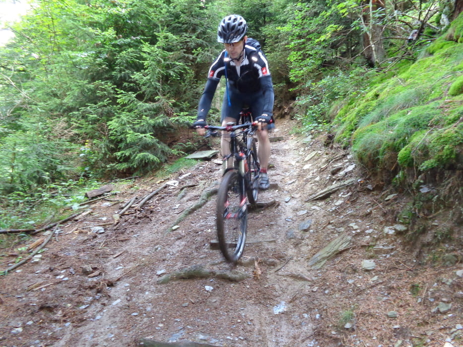
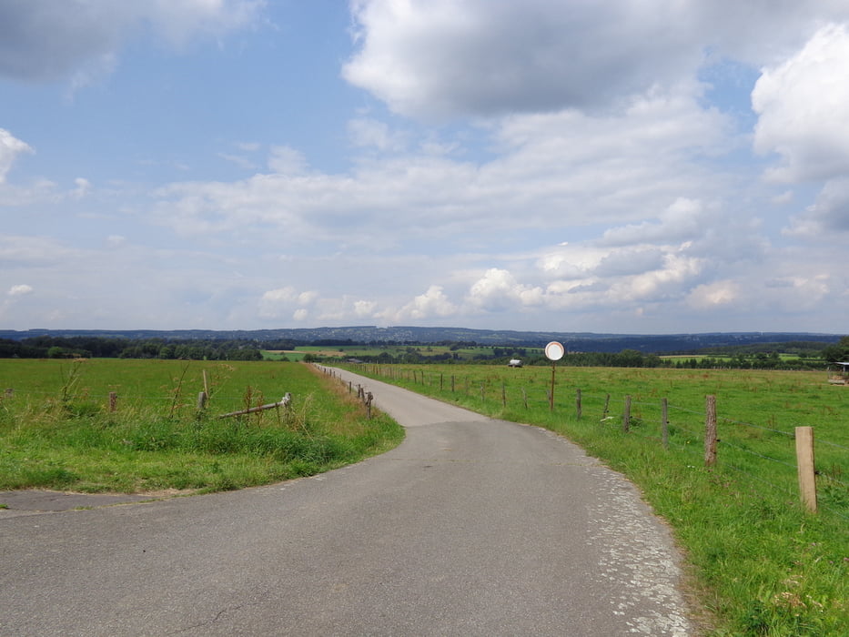
Een erg mooie rit in de omgeving van Monschau. Aangezien er door het heuvelachtige gebied hier en daar kleine waterstroompjes lopen is het overal goed technisch door glibberige wortel secties. Verder valt er natuurlijk meer dan genoeg te klimmen en dalen. 


Tour gallery

Tour map and elevation profile

  • Open Street Map
  • Google
Minimum height 390 m Maximum height 593 m Detailed view

More about the tour author

ATBRides
Member since 2014

Send private message

Comments

linoge on 16.07.2016

Schöne Stecke

Bin die Strecke heute gefahren und sie ist sehr schön zu fahren. Teilstücke sind anspruchsvoll aber machbar. Werde diese mit Sicherheit noch mal fahren.
Startlocatie is in het centrum van Monschau. 

GPS tracks

Trackpoints
  • GPX / Garmin Map Source (gpx) download
  • TCX / Garmin Training Center® (tcx) download
  • CRS / Garmin Training Center® (crs) download
  • Google Earth (kml) download
  • G7ToWin (g7t) download
  • TTQV (trk) download
  • Overlay (ovl) download
  • Fugawi (txt) download
  • Kompass (DAV) Track (tk) download
  • Track data sheet (pdf) download
  • Original file of the author (gpx) download

More about the tour author

ATBRides
Member since 2014

Send private message
Share track
Add to my favorites
Remove from my favorites
Edit tags
My score
Rate
Track: MTB Monschau
Type: Mountain bike
Distance: 31,1 km
Evaluated on:
Duration:
Day(s)
Hour(s)
Minute(s)
Score: Landscape Fun factor Fitness Technique