


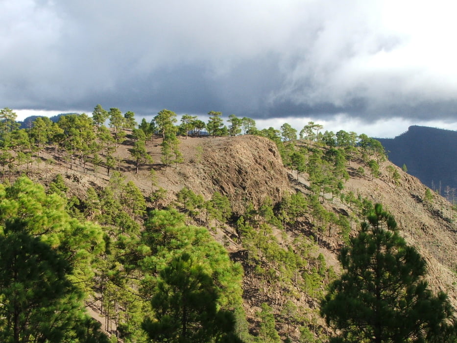
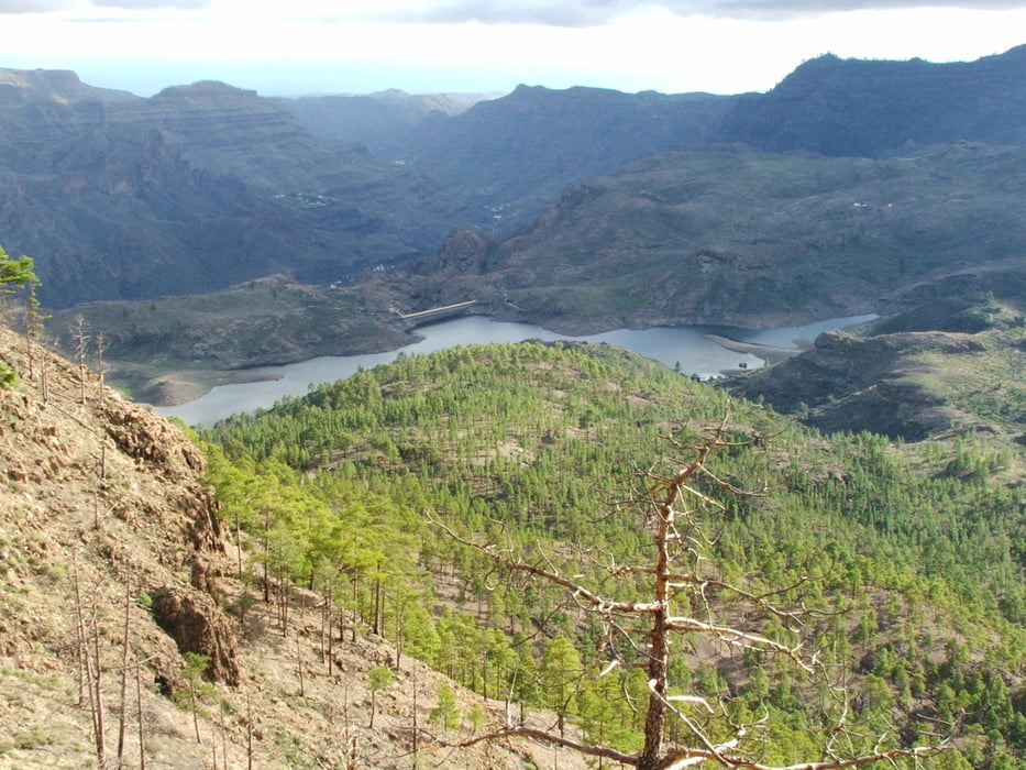
Der ganze Hinweg von El Juncal über Cruz de Pajonales und Cruz de Huesitas bis Montaña de Sandara verläuft auf einem etwas eintönigen Fahrweg, aber immerhin mit schöner Aussicht. Der Pfad auf dem Rückweg bis zum Pino Trancado ist abwechlungsreicher. Dort lohnt es sich, die ganze Schleife zu gehen. Ab Cruz de Huesitas wieder wie hin auf dem Fahrweg.
Tour gallery


Tour map and elevation profile
Minimum height 1097 m
Maximum height 1447 m
More about the tour author
|
|
lothardomnik |
Comments

Keine Busverbindung. El Juncal ist nur mit dem Auto über die Landstraße GC-661 erreichbar, die zwischen Tejeda und San Bartolomé von der GC-60 abzweigt.
Wer sich traut, mit dem Auto den schlechten Fahrweg zu benutzen (es gibt kein Verbotsschild), kann bis Cruz de Pajonales oder Cruz de Huesitas fahren und so 4,3 bzw. 6,4 Kilometer sparen, ohne viel zu verpassen.
GPS tracks
Trackpoints-
GPX / Garmin Map Source (gpx) download
-
TCX / Garmin Training Center® (tcx) download
-
CRS / Garmin Training Center® (crs) download
-
Google Earth (kml) download
-
G7ToWin (g7t) download
-
TTQV (trk) download
-
Overlay (ovl) download
-
Fugawi (txt) download
-
Kompass (DAV) Track (tk) download
-
Track data sheet (pdf) download
-
Original file of the author (gpx) download
More about the tour author
|
|
lothardomnik |
Add to my favorites
Remove from my favorites
Edit tags
Open track
My score
Rate