


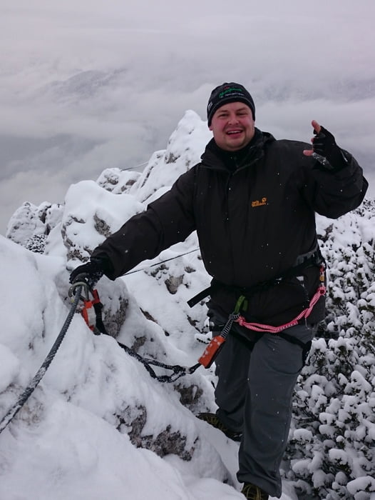
Schöner Klettersteig an der Katrin hoch über dem Kurort Bad Ischl. Der 300 m lange Steig verläuft immer recht luftig an einer Kante, ist aber nie richtig schwer - man steigt direkt beim großen Gipfelkreuz aus der Wand. Während der Tour sieht man fünf Seen - Traunsee, Wolfgangsee, Nussensee, Schwarzensee, bei guter
Sicht auch den Fuschlsee und beim Abstieg den Hallstätter See, toll ist auch der Blick auf den Dachstein. Dank der Seilbahn eine schöne Nachmittagstour, die man in gut 2 Stunden von der Bergstation aus in Angriff nehmen kann.
Sicht auch den Fuschlsee und beim Abstieg den Hallstätter See, toll ist auch der Blick auf den Dachstein. Dank der Seilbahn eine schöne Nachmittagstour, die man in gut 2 Stunden von der Bergstation aus in Angriff nehmen kann.
Tour gallery

Tour map and elevation profile
Minimum height 444 m
Maximum height 1607 m
More about the tour author

|
micha83gc |
Comments

Auf der B145 oder B158 nach Bad Ischl. In der Stadt den Hinweisschildern zum Parkplatz der Katrin-Seilbahn folgen. Die Talstation befindet sich im südwestlichen Stadtteil Kaltenbach.
GPS tracks
Trackpoints-
GPX / Garmin Map Source (gpx) download
-
TCX / Garmin Training Center® (tcx) download
-
CRS / Garmin Training Center® (crs) download
-
Google Earth (kml) download
-
G7ToWin (g7t) download
-
TTQV (trk) download
-
Overlay (ovl) download
-
Fugawi (txt) download
-
Kompass (DAV) Track (tk) download
-
Track data sheet (pdf) download
-
Original file of the author (gpx) download
More about the tour author
|
|
micha83gc |
Add to my favorites
Remove from my favorites
Edit tags
Open track
My score
Rate