

Ausgangspunkt: Steinbach am Ziehberg (547m)
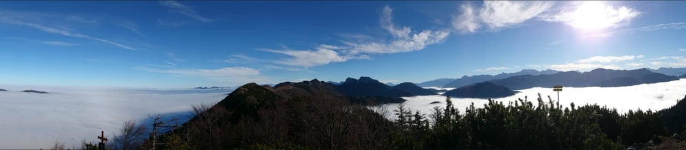
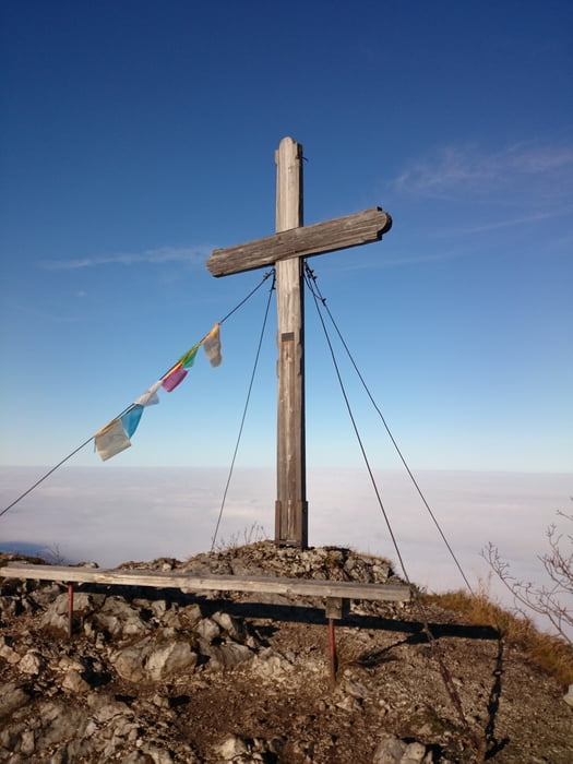
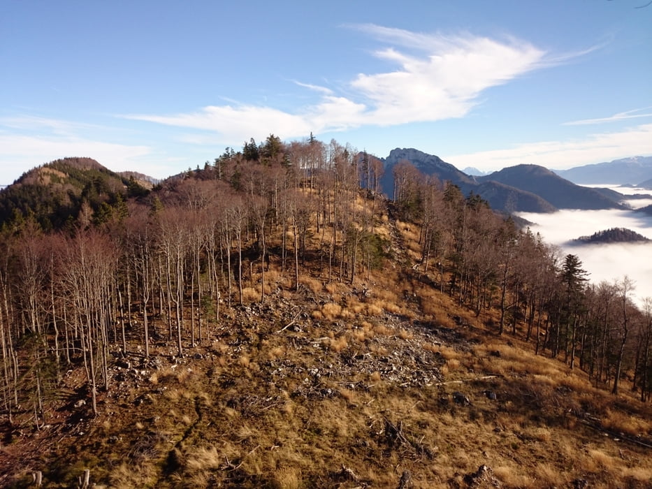
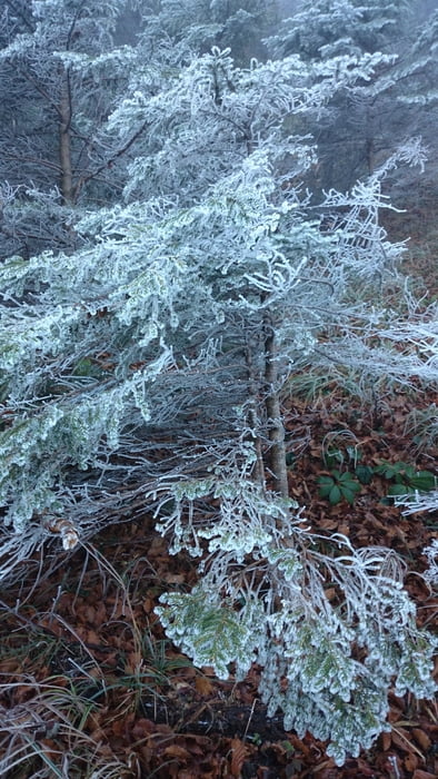
Angangs auf Forststraßen dann auf gut markierten Wegen und Steigen (immer Weg Nr. 439 folgend) in Serpentinen teilweise steil den Wald hinauf bis zum Latschenbewachsenen Gipfel. Bei Schnee ist an manchen Stellen im Wald der Weg etwas schwierig zu gehen. Im Gipfelbereich sind Schwindelfreiheit und Trittsicherheit von Vorteil. Traumhafte Aussicht!
Angangs auf Forststraßen dann auf gut markierten Wegen und Steigen (immer Weg Nr. 439 folgend) in Serpentinen teilweise steil den Wald hinauf bis zum Latschenbewachsenen Gipfel. Bei Schnee ist an manchen Stellen im Wald der Weg etwas schwierig zu gehen. Im Gipfelbereich sind Schwindelfreiheit und Trittsicherheit von Vorteil. Traumhafte Aussicht!
Tour gallery
Tour map and elevation profile
Minimum height 659 m
Maximum height 1262 m
More about the tour author

|
micha83gc |
Comments

Schöne Bergwanderung auf guten, aber stellenweise steinigen und steilen Waldpfaden. Bei Nässe oder Schneelage nicht zu empfehlen.
GPS tracks
Trackpoints-
GPX / Garmin Map Source (gpx) download
-
TCX / Garmin Training Center® (tcx) download
-
CRS / Garmin Training Center® (crs) download
-
Google Earth (kml) download
-
G7ToWin (g7t) download
-
TTQV (trk) download
-
Overlay (ovl) download
-
Fugawi (txt) download
-
Kompass (DAV) Track (tk) download
-
Track data sheet (pdf) download
-
Original file of the author (gpx) download
More about the tour author
|
|
micha83gc |
Add to my favorites
Remove from my favorites
Edit tags
Open track
My score
Rate