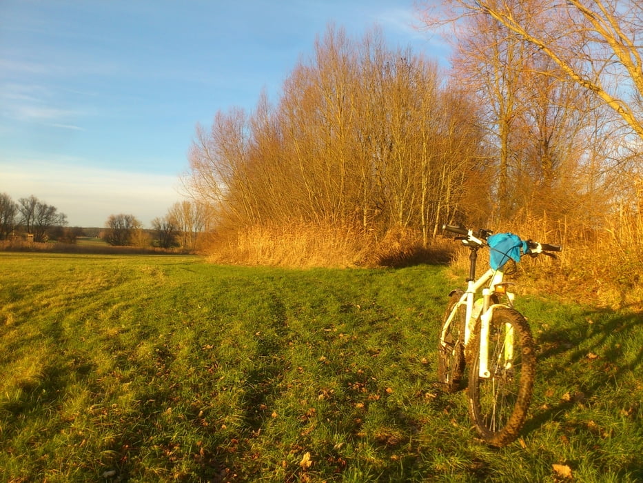
Login

Forgot your login?

Cookies have to be accepted!
Your browser's cookie functionality is disabled. Please enable this functionality.

Not a member yet?

Register now
Login

Available for registred users only

Log in to use this feature.

Forgot your login?

Cookies have to be accepted!
Your browser's cookie functionality is disabled. Please enable this functionality.

Not a member yet?

Register now
Filter
Categories
Advanced filters
  • Distance (km)
  • Height
Save filters Reset filter

TrackRank

QRCode

Technical data

Distance53,0 km Height728 m Way down760 m Duration04:00 h:m Date23.12.2014
Scores Author Landscape Fun factor Fitness Technique

Statistics

621 Views Scores 47 Downloads Average
Rate
  • Track data sheet
  • Directions
  • Downloads

Kleine Rundtour,


Start von der Neustädter Donaubrücke rechts entlang der Donau,

über Weltenburg nach Kelheim,

von dort über die  Befreiungshalle vorbei an einen sehr schönen Blick auf das Kloster Weltenburg vom anderen Ufer aus,

zurück am anderen Donauufer zum Ausgangspunkt.


Further information at

http://de.wikipedia.org/wiki/Befreiungshalle

Tour gallery

Tour map and elevation profile

  • Open Street Map
  • Google
Minimum height 349 m Maximum height 527 m Detailed view

More about the tour author

ShaunRyder
Member since 2013

Send private message

Comments

Start ist an der B299 Brück Neustadt Donau


GPS tracks

Trackpoints
  • GPX / Garmin Map Source (gpx) download
  • TCX / Garmin Training Center® (tcx) download
  • CRS / Garmin Training Center® (crs) download
  • Google Earth (kml) download
  • G7ToWin (g7t) download
  • TTQV (trk) download
  • Overlay (ovl) download
  • Fugawi (txt) download
  • Kompass (DAV) Track (tk) download
  • Track data sheet (pdf) download
  • Original file of the author (gpx) download

More about the tour author

ShaunRyder
Member since 2013

Send private message
Share track
Add to my favorites
Remove from my favorites
Edit tags
My score
Rate
Track: Neustadt Donau Befreiungshalle Donau
Type: Mountain bike
Distance: 53,0 km
Evaluated on:
Duration:
Day(s)
Hour(s)
Minute(s)
Score: Landscape Fun factor Fitness Technique