


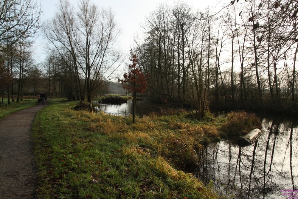
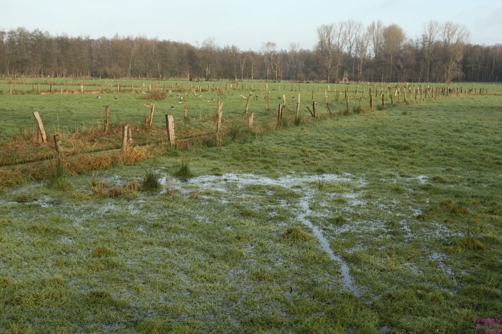
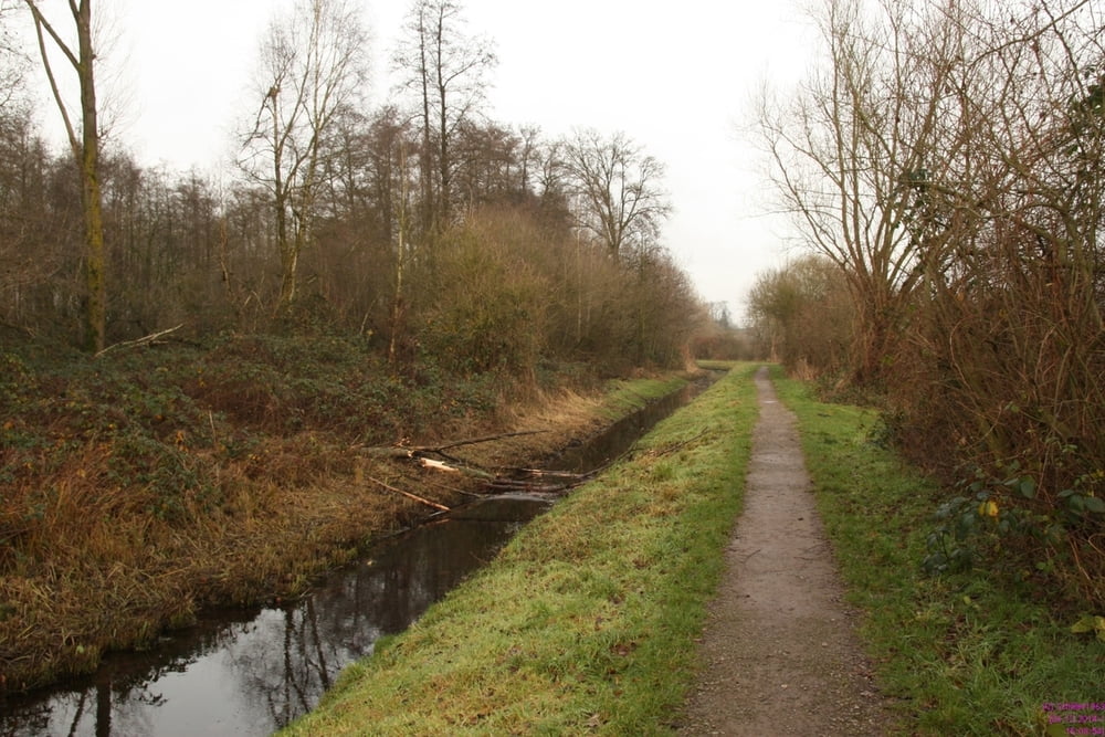
Eine interessante Streckentour entlang der Schwalm und Nette mit Blick auf mehrere Seen des gleichnamigen Naherholungsgebietes. Die Tour ist nicht anspruchsvoll und führt über gut befestigte Wege. Immer wieder neue Blicke auf die heimischen Wasservögel oder Raubvögel auf den Feldern wechseln sich ab mit herrlichen Landschaftsbildern.
Tour gallery
Tour map and elevation profile
Minimum height 23 m
Maximum height 53 m
More about the tour author
|
|
Schiller1963 |
Comments

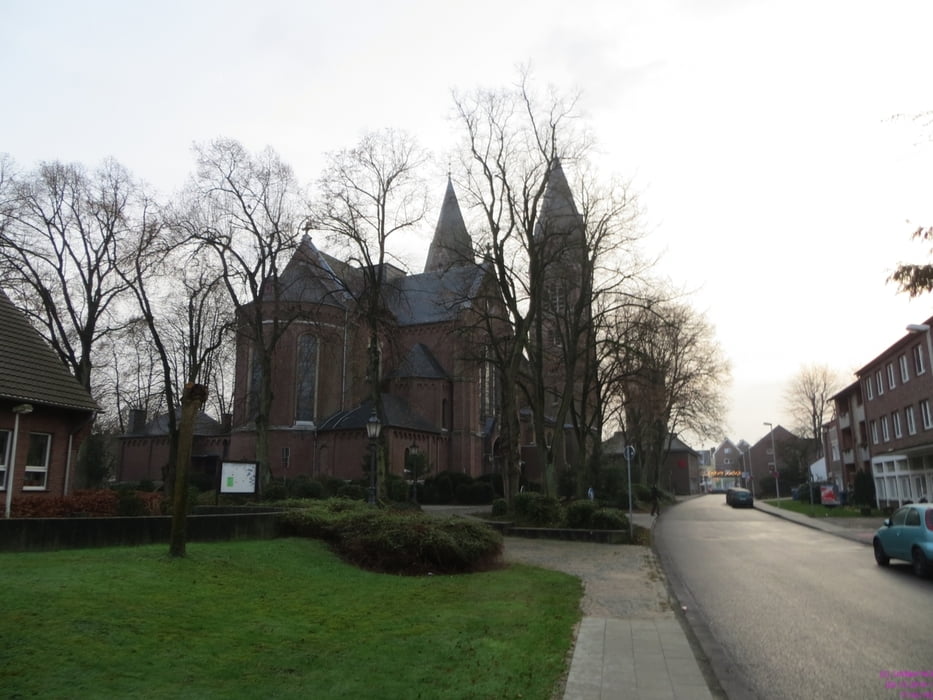
Wir sind in Brüggen am Busbahnhof gestartet. Die Anreise mit dem ÖPNV an einem Sonntag erfordert Geduld und eine gute Fahrplankenntnis. Am Zielort Breyell verkehr stündliche ein Regionalexpress Venlo - Mönchengladbach.
GPS tracks
Trackpoints-
GPX / Garmin Map Source (gpx) download
-
TCX / Garmin Training Center® (tcx) download
-
CRS / Garmin Training Center® (crs) download
-
Google Earth (kml) download
-
G7ToWin (g7t) download
-
TTQV (trk) download
-
Overlay (ovl) download
-
Fugawi (txt) download
-
Kompass (DAV) Track (tk) download
-
Track data sheet (pdf) download
-
Original file of the author (gpx) download
More about the tour author
|
|
Schiller1963 |
Add to my favorites
Remove from my favorites
Edit tags
Open track
My score
Rate