Login

Forgot your login?

Cookies have to be accepted!
Your browser's cookie functionality is disabled. Please enable this functionality.

Not a member yet?

Register now
Login

Available for registred users only

Log in to use this feature.

Forgot your login?

Cookies have to be accepted!
Your browser's cookie functionality is disabled. Please enable this functionality.

Not a member yet?

Register now
Filter
Categories
Advanced filters
  • Distance (km)
  • Height
Save filters Reset filter

TrackRank

QRCode

Technical data

Distance7,1 km Height95 m Way down110 m Duration01:15 h:m Date28.12.2014
Scores Author Landscape Fun factor Fitness Technique

Statistics

298 Views Scores 5 Downloads Average
Rate
  • Track data sheet
  • Directions
  • Downloads

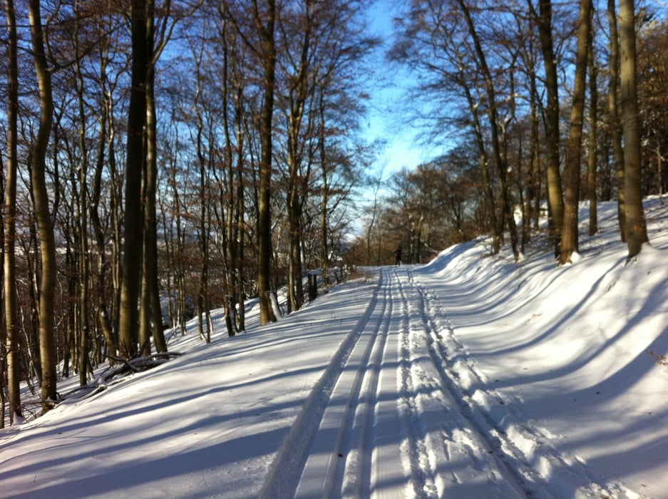
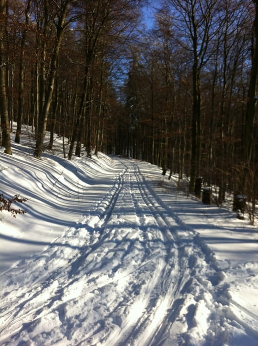
Die Rundtour kann man entweder an der Kittelhütte oder am Roten Kreuz starten. Es gibt 2 steilere Abfahrten und einen steilen Aufstieg. Der Weg von der Kittelhütte aus zum Zacken liegt bei Sonnenschein wunderbar in der Sonne.


Tour gallery

Tour map and elevation profile

  • Open Street Map
  • Google
Minimum height 499 m Maximum height 593 m Detailed view

More about the tour author

sonnysurf

Comments

GPS tracks

Trackpoints
  • GPX / Garmin Map Source (gpx) download
  • TCX / Garmin Training Center® (tcx) download
  • CRS / Garmin Training Center® (crs) download
  • Google Earth (kml) download
  • G7ToWin (g7t) download
  • TTQV (trk) download
  • Overlay (ovl) download
  • Fugawi (txt) download
  • Kompass (DAV) Track (tk) download
  • Track data sheet (pdf) download
  • Original file of the author (gpx) download

More about the tour author

sonnysurf

Share track
Add to my favorites
Remove from my favorites
Edit tags
My score
Rate
Track: Kittelhütte-Rotes Kreuz Rundtour 2
Type: Cross-country skiing
Distance: 7,1 km
Evaluated on:
Duration:
Day(s)
Hour(s)
Minute(s)
Score: Landscape Fun factor Fitness Technique