


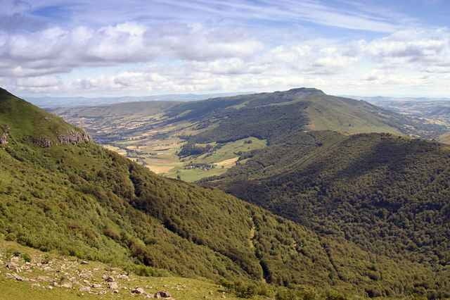
Die mindestens 10 tägige Tour führt vom Bodensee durch das schweizer Mittelland über den Jura ins Burgund. Weiter über unzählige Hügelzüge ins Massiv Central. Das Dach der Tour ist der Pas de Peyrol.Nach dem Pass geht es weiter gegen Süden, den letzten Ausläufern der Pyrenäen entlang bis nach Biarritz. Ab Biarrizt folgte ich der Küste bis ins Medoc. Mit der Fähre überquerte ich die Gironde und beendete die Tour nach 10 strapaziösen Tagen im Cognac-Gebiet.
(Aufpassen die Aufzeichnung des Tracks beginnt erst in Pfyn, ca. 15 km nach Kreuzlingen. Pfyn ist sehr einfach zu finden an der Hauptsrasse Richtung Zürich. Bei Valence d'Agen fehlen ca. 25 km Trackaufzeichnung. Defekt!)
(Aufpassen die Aufzeichnung des Tracks beginnt erst in Pfyn, ca. 15 km nach Kreuzlingen. Pfyn ist sehr einfach zu finden an der Hauptsrasse Richtung Zürich. Bei Valence d'Agen fehlen ca. 25 km Trackaufzeichnung. Defekt!)
Tour gallery
Tour map and elevation profile
Minimum height -9 m
Maximum height 1578 m
More about the tour author
|
|
Tourer |
Comments

Start Kreuzlingen Bahnhof
GPS tracks
Trackpoints-
GPX / Garmin Map Source (gpx) download
-
TCX / Garmin Training Center® (tcx) download
-
CRS / Garmin Training Center® (crs) download
-
Google Earth (kml) download
-
G7ToWin (g7t) download
-
TTQV (trk) download
-
Overlay (ovl) download
-
Fugawi (txt) download
-
Kompass (DAV) Track (tk) download
-
Track data sheet (pdf) download
-
Original file of the author (g7t) download
More about the tour author
|
|
Tourer |
Add to my favorites
Remove from my favorites
Edit tags
Open track
My score
Rate