


Tour vom 4.7.2014 - 11.7.2014
1. Tag: von Pill/ Inntal über das Geiseljoch nach Tux/Madseit
2. Tag: Tux/Madseit - Tuxer Joch - Stafflach a.d. Brennerstraße - Gries am Brenner - Vinaders - Sattelbergalm
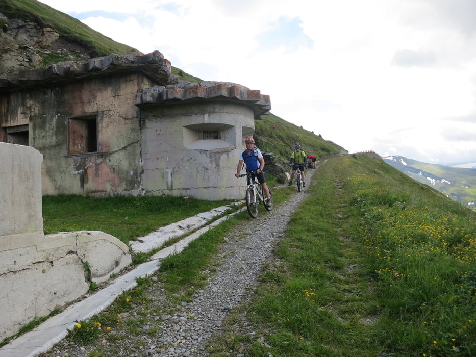
3. Tag: Sattelbergalm - Brennner Grenzkammstraße - Gossensaß - Sterzing - Colle/Radschinz - Refugio "Jaufenhaus"
4. Tag: Refugio "Jaufenhaus" - St. Lenohard in Passeier - Platt - Pfelders - ´Privatpension Peterhof
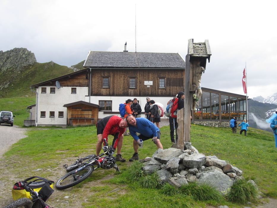
5.Tag: Pfelders - ´Privatpension Peterhof - Eisjöchl/Stettiner Hütte - Berggasthof Eishof
6. TAg: Berggasthof Eishof - Schnalstal - Naturns - Vinschgau - Burgeis
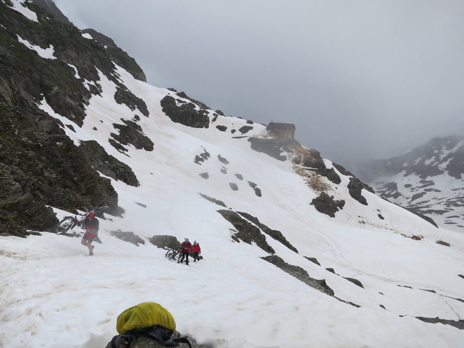
7. Tag: Burgeis - Kapelle St. Martin - Savenna Hütte
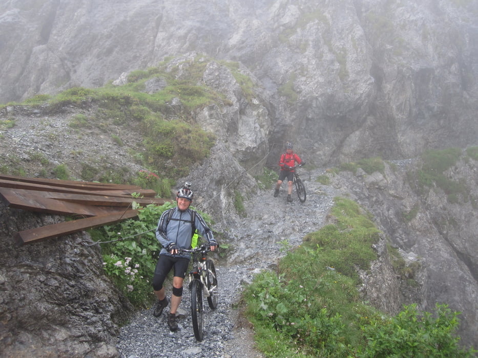
9.Tag: Sasvenna Hütte - Uninaschlucht - Sur-En - durchs Inntal nach Landeck
Tour gallery
Tour map and elevation profile
Minimum height 567 m
Maximum height 2897 m
More about the tour author
|
|
mikean99 |
Comments

Ins Inntal nach Pill, von dort Aufstieg zum Geiseljcoh
GPS tracks
Trackpoints-
GPX / Garmin Map Source (gpx) download
-
TCX / Garmin Training Center® (tcx) download
-
CRS / Garmin Training Center® (crs) download
-
Google Earth (kml) download
-
G7ToWin (g7t) download
-
TTQV (trk) download
-
Overlay (ovl) download
-
Fugawi (txt) download
-
Kompass (DAV) Track (tk) download
-
Track data sheet (pdf) download
-
Original file of the author (gpx) download
More about the tour author
|
|
mikean99 |
Add to my favorites
Remove from my favorites
Edit tags
Open track
My score
Rate