


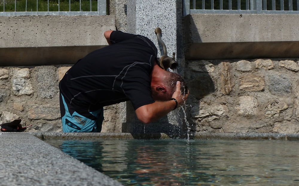
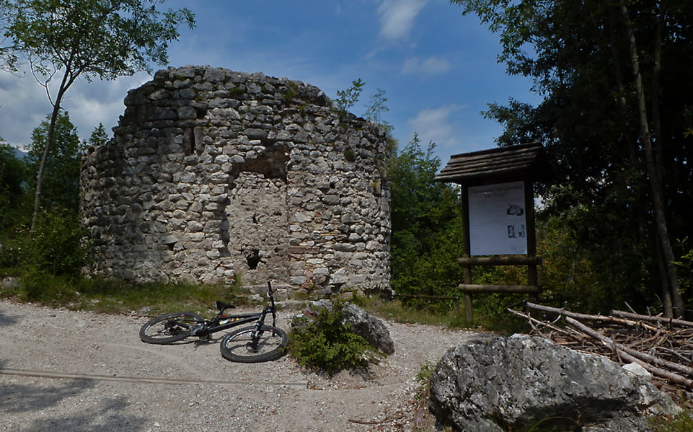
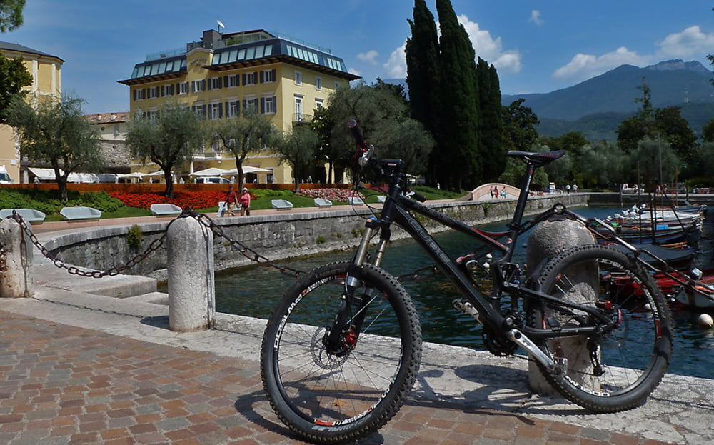
Malga Grassi / Torbole - Riva - Pranzo - Campi - Rifugio Malga Grassi - Sentiero 402 - Sentiero della Pinza - Riva - Torbole
weitere Infos und Tourbericht auf:
www.alpenx-xl.de/2012/12_09malgagrassi/12_09malgagrassi.php
Further information at
http://www.AlpenX-XL.de/Tour gallery

Tour map and elevation profile
Minimum height 74 m
Maximum height 1045 m
More about the tour author
|
|
AlpenX-XL.de |
Comments
GPS tracks
Trackpoints-
GPX / Garmin Map Source (gpx) download
-
TCX / Garmin Training Center® (tcx) download
-
CRS / Garmin Training Center® (crs) download
-
Google Earth (kml) download
-
G7ToWin (g7t) download
-
TTQV (trk) download
-
Overlay (ovl) download
-
Fugawi (txt) download
-
Kompass (DAV) Track (tk) download
-
Track data sheet (pdf) download
-
Original file of the author (gpx) download
More about the tour author
|
|
AlpenX-XL.de |
Add to my favorites
Remove from my favorites
Edit tags
Open track
My score
Rate
Schotter anstatt Trail?
wir waren letztes Jahr auf der Campanna Grassi und haben leckere Spagetti verschlungen.
Auf dem Weg nach unten hatten wir erst ca. 100m coolen Trail, der dann aber bis ganz nach unten vollständig geschottert war! Viel zu schade für die erarbeiteten Höhenmeter!
Könnt ihr das bestätigen oder haben wir ne Abzweigung verpaßt?!?
Vielen Dank für euer Feedback!
VG
Joachim
ps: ab morgen in Malcesine :-)
Schotter anstatt Trail?
Tut mir leid, den aktuellen Zustand des Weges kenn ich nicht. Schade wärs allemal.
Aktuelles feedback wäre nett?
Beste Grüße