


Da Mathon (1527m) si sale per un bosco rado di abeti in direzione NW fino al suo termine dove si trova il maggengo di Dros (1876m). Mantenendo la direzione innalzarsi per il vasto Pro da Peadra fino a raggiungere la costola SE che scende dalla sella quotata 2525m. Da qui prendere la cresta E e raggiungere la cima sciistica dell'Einshorn quota 2602m. La vetta vera e propria a quota 2457m viene salita molto raramente.
Osservazioni:
La gita da q.1900 circa si svolge in terreno ampio con pendenza continua e mai sostenuta. Scegliendo bene la traccia e' una gita praticamente sicura e senza particolari difficolta'.
Nota aggiuntiva
In questa relazione viene inserita una traccia GPS per la discesa fino a Donat (Consigliabile con presenza di neve fino a questa località).
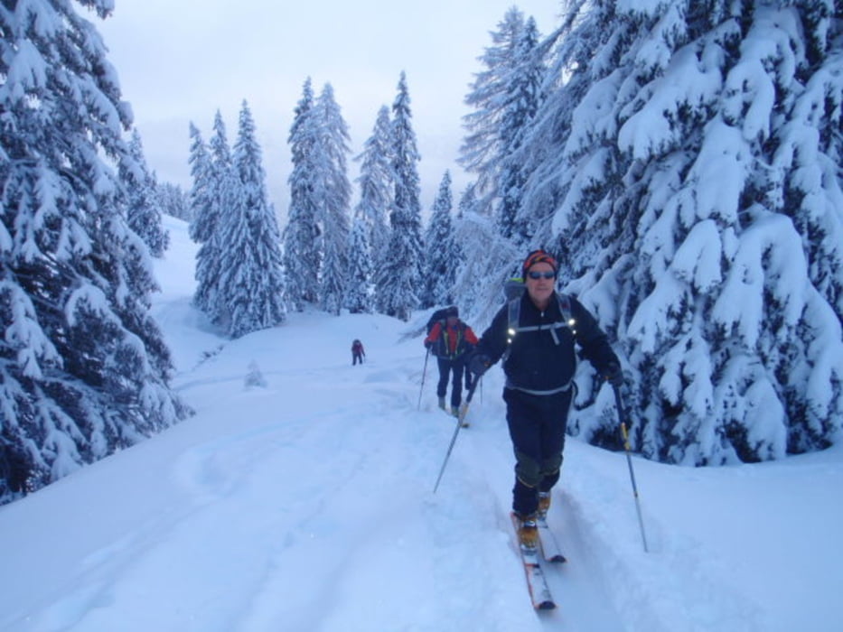
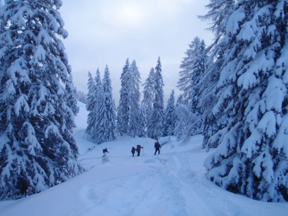
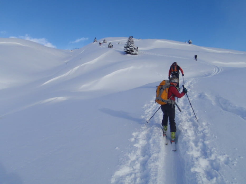
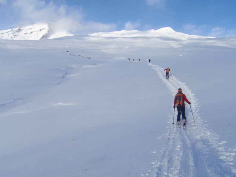
Tour gallery
Tour map and elevation profile
Minimum height 1013 m
Maximum height 2614 m
More about the tour author
|
|
sergiomtbscialp |
Comments

Da Como si entra in Svizzera - poi si passa a Nord della Galleria del San Bernardino e si scende fino all'uscita di Zillis. Da questa località si sale fino a Mathon.
GPS tracks
Trackpoints-
GPX / Garmin Map Source (gpx) download
-
TCX / Garmin Training Center® (tcx) download
-
CRS / Garmin Training Center® (crs) download
-
Google Earth (kml) download
-
G7ToWin (g7t) download
-
TTQV (trk) download
-
Overlay (ovl) download
-
Fugawi (txt) download
-
Kompass (DAV) Track (tk) download
-
Track data sheet (pdf) download
-
Original file of the author (gpx) download
More about the tour author
|
|
sergiomtbscialp |
Add to my favorites
Remove from my favorites
Edit tags
Open track
My score
Rate