
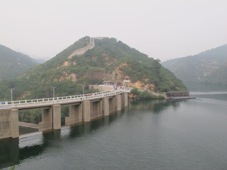

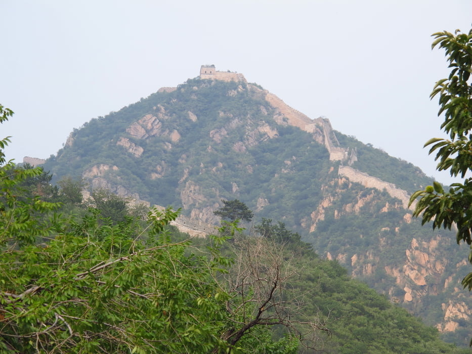
Vom Parkplatz zum Tor. Der Eintritt ist dort zu bezahlen. Über einige Stufen zur Staumauer. Einmal um den Stausee herum und dann das Tal hinauf. Ein bisschen Klettern ist auch dabei. Es sind Tritte in den Stein gehauen. Kleine Furten mit Steinen zum Überqueren gibt auch. Nichts schwieriges. Am Ende das Tales nach Süden wenden. Am Anfang des Ortes Richtung Süden zur Mauer weiter. Die Mauer überqueren und im nächsten Ort nach Osten ins nächste Tal. Dem Tal folgen und die Mauer an einem Durchbruch passieren. Über eine kleine Zugbrücke wieder auf den Ursprünglichen Weg zurück. Zum Stausee und über eine Brücke auf die andere Seite. Dem Weg zur Mauer folgen und auf der anderen Seite zum Parkplatz zurück.
Tour gallery
Tour map and elevation profile
Minimum height 259 m
Maximum height 458 m
More about the tour author
|
|
Hastati |
Comments

Auto mit Fahrer mieten.
GPS tracks
Trackpoints-
GPX / Garmin Map Source (gpx) download
-
TCX / Garmin Training Center® (tcx) download
-
CRS / Garmin Training Center® (crs) download
-
Google Earth (kml) download
-
G7ToWin (g7t) download
-
TTQV (trk) download
-
Overlay (ovl) download
-
Fugawi (txt) download
-
Kompass (DAV) Track (tk) download
-
Track data sheet (pdf) download
-
Original file of the author (gpx) download
More about the tour author
|
|
Hastati |
Add to my favorites
Remove from my favorites
Edit tags
Open track
My score
Rate