


Die Wanderung beginnt am Parkplatz Arberhochstraße. Von dort wandern wir auf der Arberhochstrasse bis die Straße den Schwellbach überquert. Wir verlassen die Arberhochstrasse und wandern jetzt parallel zum Schwellbach und anschließend den Berg hinauf zur Chamer Hütte.
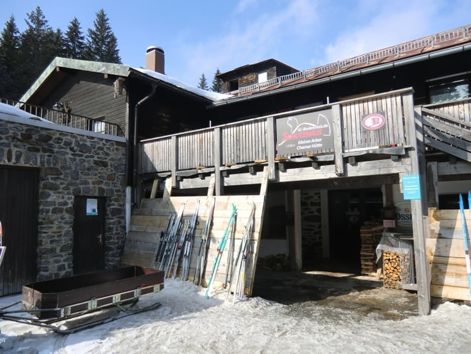
Die Chamer Hütte liegt auf 1300 Meter Höhe und wird ehrenamtlich vom Skiclub Bodenmais betrieben. Die Bedienung ist sehr freundlich und zuvorkommend.
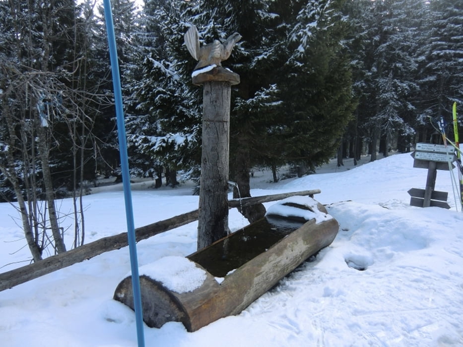
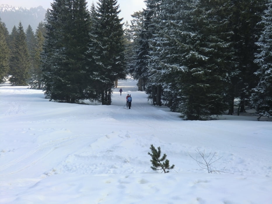
Die Auerhahnloipe von Bretterschachten führt direkt an der Chamerhütte vorbei.
Wir wandern auf den Chamer Hüttenweg zurück zum Parkplatz.
Die Chamer Hütte liegt auf 1300 Meter Höhe und wird ehrenamtlich vom Skiclub Bodenmais betrieben. Die Bedienung ist sehr freundlich und zuvorkommend.
Die Auerhahnloipe von Bretterschachten führt direkt an der Chamerhütte vorbei.
Wir wandern auf den Chamer Hüttenweg zurück zum Parkplatz.
Tour gallery

Tour map and elevation profile
Minimum height 969 m
Maximum height 1321 m
More about the tour author
|
|
Bikepaul_Jork |
Comments

Von Bodenmais die Landstrasse ST 2136 bis zum Parkplatz
GPS tracks
Trackpoints-
GPX / Garmin Map Source (gpx) download
-
TCX / Garmin Training Center® (tcx) download
-
CRS / Garmin Training Center® (crs) download
-
Google Earth (kml) download
-
G7ToWin (g7t) download
-
TTQV (trk) download
-
Overlay (ovl) download
-
Fugawi (txt) download
-
Kompass (DAV) Track (tk) download
-
Track data sheet (pdf) download
-
Original file of the author (gpx) download
More about the tour author
|
|
Bikepaul_Jork |
Add to my favorites
Remove from my favorites
Edit tags
Open track
My score
Rate