Login

Forgotten password?

Cookies have to be accepted!
Your browser's cookie functionality is disabled. Please enable this functionality.

Not a member yet?

Register now
Login

Available for registred users only

Log in to use this feature.

Forgotten password?

Cookies have to be accepted!
Your browser's cookie functionality is disabled. Please enable this functionality.

Not a member yet?

Register now
Filter
Categories
Advanced filters
  • Distance (km)
  • Height
Save filters Reset filter

TrackRank

QRCode

Technical data

Distance4,7 km Height243 m Way down222 m Duration01:30 h:m Date01.02.2015
Scores Author Landscape Fun factor Fitness Technique

Statistics

1391 Views Scores 56 Downloads Average
Rate
  • Track data sheet
  • Directions
  • Downloads

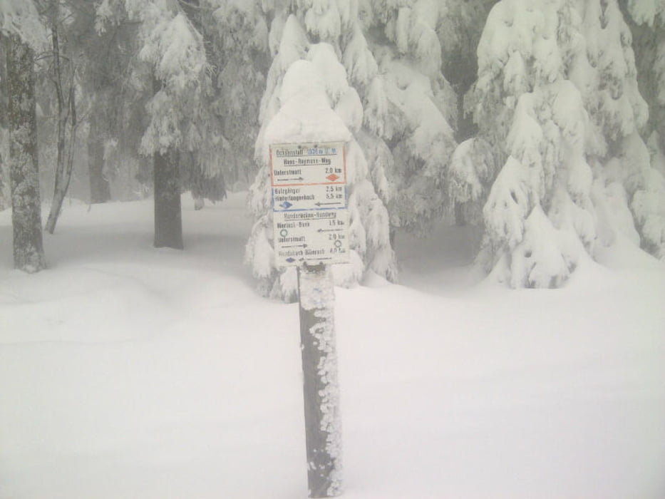
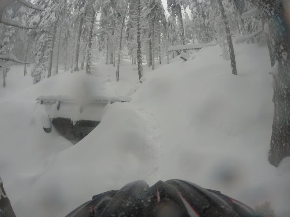
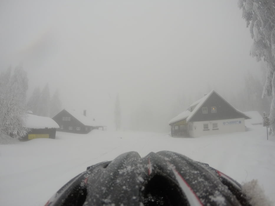
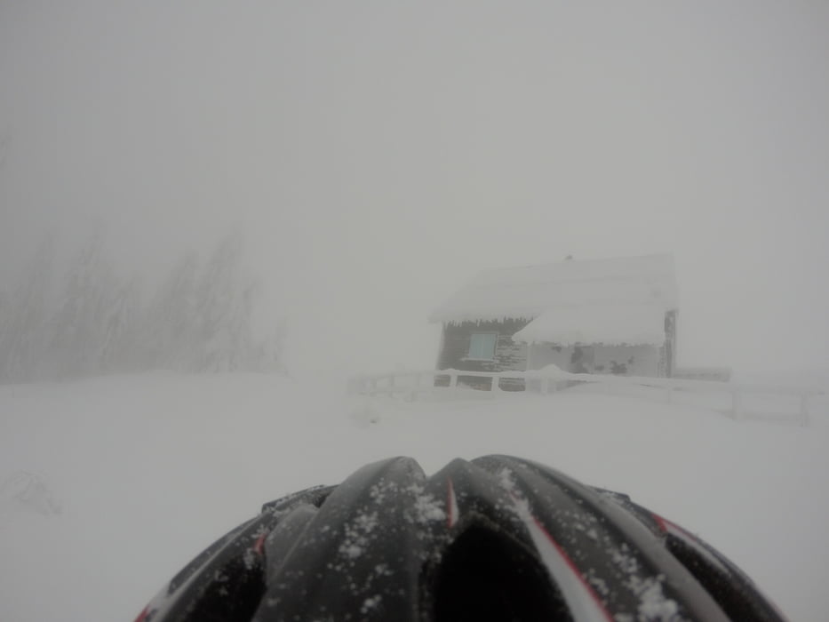
Von der Unterstmatt über den Hans Reymann Weg in Richtung Ochsenstall. Von dort in Richtung Hornisgrinde.

Über die Skipiste und den Fußweg wieder zurück zur Unterstmatt

Further information at

http://unterstmatt.de/

Tour gallery

Tour map and elevation profile

  • Open Street Map
  • Google
Minimum height 893 m Maximum height 1137 m Detailed view

More about the tour author

thheinz
Member since 2014

Send private message

Comments

GPS tracks

Trackpoints
  • GPX / Garmin Map Source (gpx) download
  • TCX / Garmin Training Center® (tcx) download
  • CRS / Garmin Training Center® (crs) download
  • Google Earth (kml) download
  • G7ToWin (g7t) download
  • TTQV (trk) download
  • Overlay (ovl) download
  • Fugawi (txt) download
  • Kompass (DAV) Track (tk) download
  • Track data sheet (pdf) download
  • Original file of the author (gpx) download

More about the tour author

thheinz
Member since 2014

Send private message
Share track
Add to my favorites
Remove from my favorites
Edit tags
My score
Rate
Track: Hornisgrinde
Type: Ski touring
Distance: 4,7 km
Evaluated on:
Duration:
Day(s)
Hour(s)
Minute(s)
Score: Landscape Fun factor Fitness Technique