


Wir nehmen z. B. den Bus 203 von Los Llanos nach Los Canarios (früher Fuencaliente genannt). Die Tour beginnt an der Bushaltestelle Fuencaliente (Los Canarios) beim Turismo. Wir gehen gegenüber in die kleine Straße Calle Numero Doce und steigen hoch über die Calle Cementerio (Friedhof), dann links ab in die Calle Luciano Hernandez Armos. Dort stoßen wir auf die roten Wegweiser des Camino Real (Königswegs) Richtung Jedey. Wir steigen hoch in einen Pinienwald, kommen dann an Weinfeldern vorbei mit schönem Blick auf die Küste. Wir wandern dort auf einem breiten Forstweg, der bequem zu begehen ist. Anstieg 266 m, Abstieg 201 m.
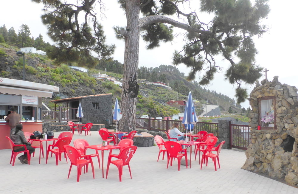
Endpunkt ist der Mirador El Charco, wo es einen Kiosko zum Einkehren gibt.. Hier ist auch die Bushaltestelle, von der wir zurück nach Los Llanos fahren können
Further information at
http://www.senderosdelapalma.com/de/de_index.phpTour gallery


Tour map and elevation profile
Minimum height 728 m
Maximum height 948 m
More about the tour author
|
|
horst1508 |
Comments

s.o.
GPS tracks
Trackpoints-
GPX / Garmin Map Source (gpx) download
-
TCX / Garmin Training Center® (tcx) download
-
CRS / Garmin Training Center® (crs) download
-
Google Earth (kml) download
-
G7ToWin (g7t) download
-
TTQV (trk) download
-
Overlay (ovl) download
-
Fugawi (txt) download
-
Kompass (DAV) Track (tk) download
-
Track data sheet (pdf) download
-
Original file of the author (gpx) download
More about the tour author
|
|
horst1508 |
Add to my favorites
Remove from my favorites
Edit tags
Open track
My score
Rate