


Unsere Anfahrt erfolgte mit dem Bus um 8:15 Uhr von Los Llanos nach Puntagarda. Dort Umstieg in einen kleinerern Bus Richtung Santo Domingo nach Briestas. Unsere Streckenwandererung beginnt am Restaurante Briesta (Carretera General Las Tricias KM 6, 38787 Garafia). Hier nehmen wir den gelb/weiß ausgezeichneten Wanderwag PR LP 10( La Traviesa) in südliche Richtung bis zur Schutzhütte Refugio de Tinizara. Von dort geht es über den markierten Wanderweg PR LP 12 hinab nach Tinzizara. Von hier können wir mit dem Bus zurück nach Los Llanos fahren.
Anstieg 569 m; Abstieg 959 m
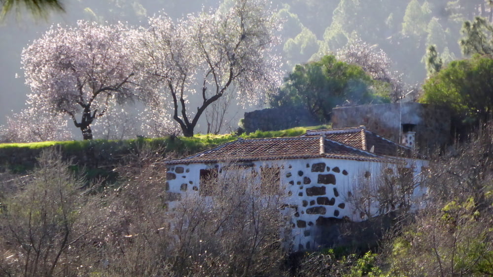
Die Tour ist besonders schön Ende Januar, wenn die Mandelbäume blühen
Further information at
http://www.senderosdelapalma.com/de/de_index.phpTour gallery


Tour map and elevation profile
Minimum height 835 m
Maximum height 1354 m
More about the tour author
|
|
horst1508 |
Comments

s. o.
GPS tracks
Trackpoints-
GPX / Garmin Map Source (gpx) download
-
TCX / Garmin Training Center® (tcx) download
-
CRS / Garmin Training Center® (crs) download
-
Google Earth (kml) download
-
G7ToWin (g7t) download
-
TTQV (trk) download
-
Overlay (ovl) download
-
Fugawi (txt) download
-
Kompass (DAV) Track (tk) download
-
Track data sheet (pdf) download
-
Original file of the author (gpx) download
More about the tour author
|
|
horst1508 |
Add to my favorites
Remove from my favorites
Edit tags
Open track
My score
Rate