


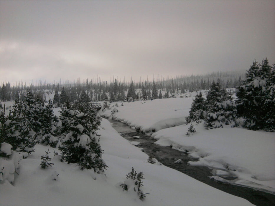
Die Webcam hatte in den Tagen vor der Anreise schon mitgeteilt, daß es mehrmals in Srni geschneit hat. Es lag ausreichend Schnee für Langlauf, auch wenn rund um Srni von den avisierten Langlaufloipen die Woche über nichts zu sehen war.
An- und Abreise erfolgten wieder weitgehend schneefrei. Das Hotel kannten wir schon aus dem Vorjahr, wir waren wieder sehr zufrieden. Lediglich die Skiausleihe ließ zu wünschen übrig.
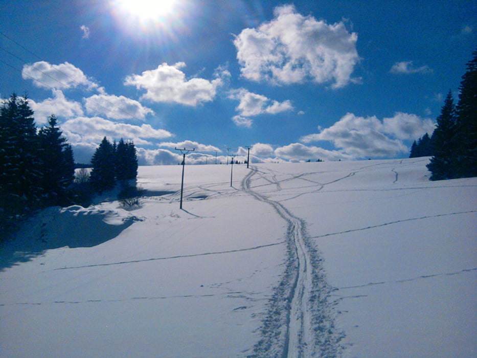
Das Wetter war sehr verschieden: Einen Tag hatten wir Neuschnee, um die Null Grad und eine hohe Luftfeuchte - das Laufen fiel wegen des anklebenden Schnees schwer. Danach viel Sonne. Die beiden letzten Tage dann kaum noch Sonne, dafür eisiger Wind.
An- und Abreise erfolgten wieder weitgehend schneefrei. Das Hotel kannten wir schon aus dem Vorjahr, wir waren wieder sehr zufrieden. Lediglich die Skiausleihe ließ zu wünschen übrig.
Das Wetter war sehr verschieden: Einen Tag hatten wir Neuschnee, um die Null Grad und eine hohe Luftfeuchte - das Laufen fiel wegen des anklebenden Schnees schwer. Danach viel Sonne. Die beiden letzten Tage dann kaum noch Sonne, dafür eisiger Wind.
Further information at
http://xxrhahn.de/winter/2015/index.htmlTour gallery


Tour map and elevation profile
Minimum height 879 m
Maximum height 1260 m
More about the tour author

|
xxrhahn |
Comments

Mit dem Auto
Es fährt ein Bus von Sušice über Srni Richtung Modrava.
GPS tracks
Trackpoints-
GPX / Garmin Map Source (gpx) download
-
TCX / Garmin Training Center® (tcx) download
-
CRS / Garmin Training Center® (crs) download
-
Google Earth (kml) download
-
G7ToWin (g7t) download
-
TTQV (trk) download
-
Overlay (ovl) download
-
Fugawi (txt) download
-
Kompass (DAV) Track (tk) download
-
Track data sheet (pdf) download
-
Original file of the author (gpx) download
More about the tour author
|
|
xxrhahn |
Add to my favorites
Remove from my favorites
Edit tags
Open track
My score
Rate