
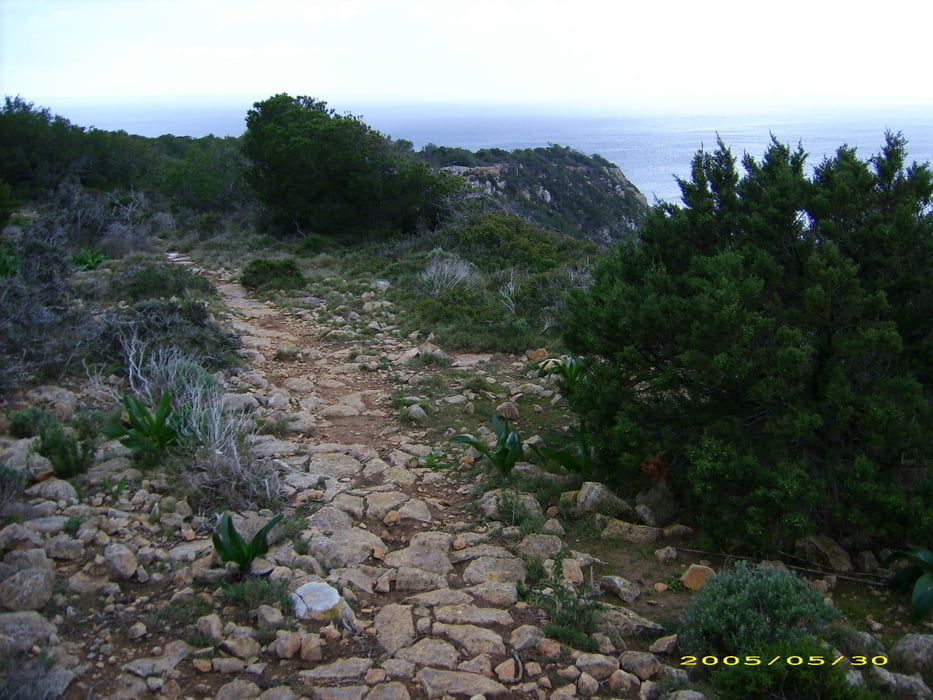

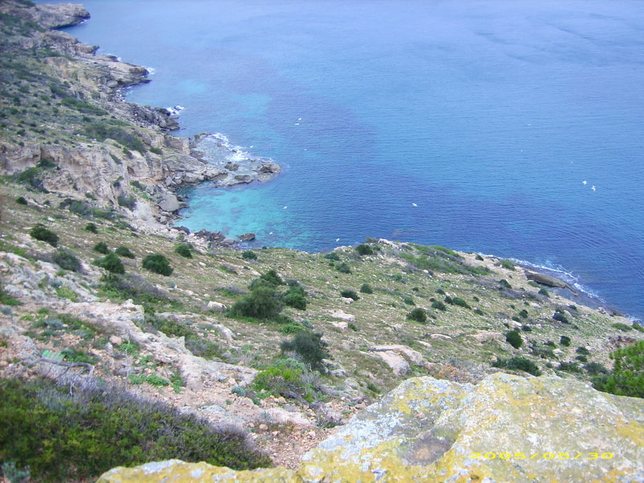
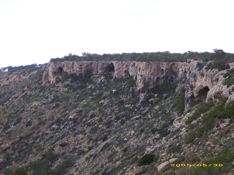
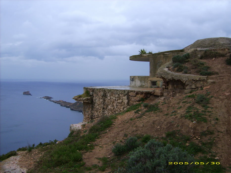
Das ist der 2.Teil einer Rundwanderung auf der Halbinsel. Landschaftlich ist die Runde ein echtes Schmankerl, technisch und konitionell sollte sie kein Problm sein. Es gibt unterwegs keine Verpflegung oder Wasser also mitnehmen.
Viel Spaß!
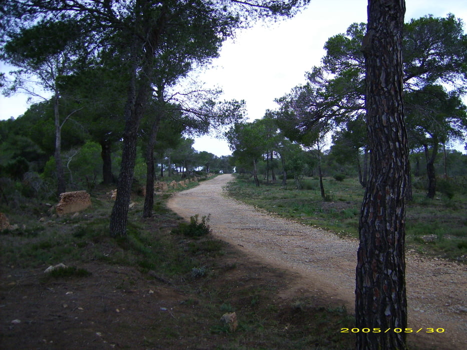
Tour gallery
Tour map and elevation profile
Minimum height 6 m
Maximum height 154 m
More about the tour author
|
|
berndhuber |
Comments

Palma>Ma1>Magaluf
GPS tracks
Trackpoints-
GPX / Garmin Map Source (gpx) download
-
TCX / Garmin Training Center® (tcx) download
-
CRS / Garmin Training Center® (crs) download
-
Google Earth (kml) download
-
G7ToWin (g7t) download
-
TTQV (trk) download
-
Overlay (ovl) download
-
Fugawi (txt) download
-
Kompass (DAV) Track (tk) download
-
Track data sheet (pdf) download
-
Original file of the author (gpx) download
More about the tour author
|
|
berndhuber |
Add to my favorites
Remove from my favorites
Edit tags
Open track
My score
Rate