


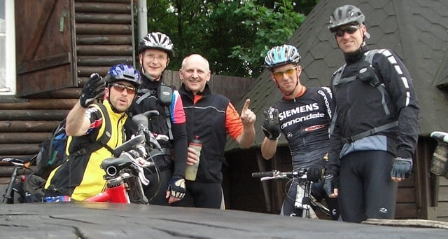
Hallo MTB'ler,
Eine schöne aber auch etwas längere Runde auf den Hoherodskopf und über einige Trails an Schotten vorbei wieder zurück nach Nidda.
Viel Spaß dabei !
Grüße und ein langes Leben wünscht
Klaus (Big-Uphill-L)
Stationen:
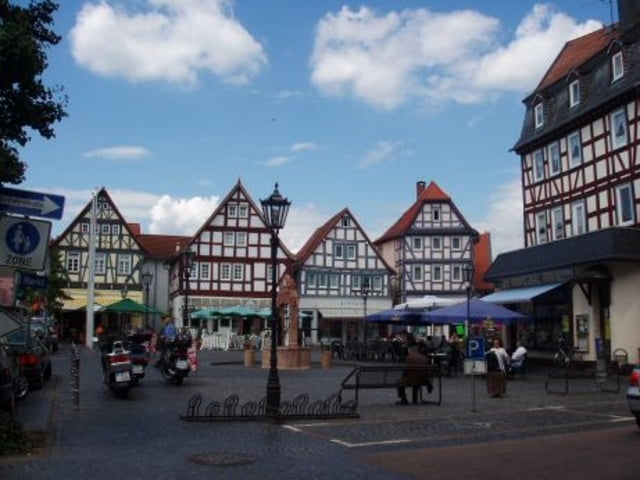
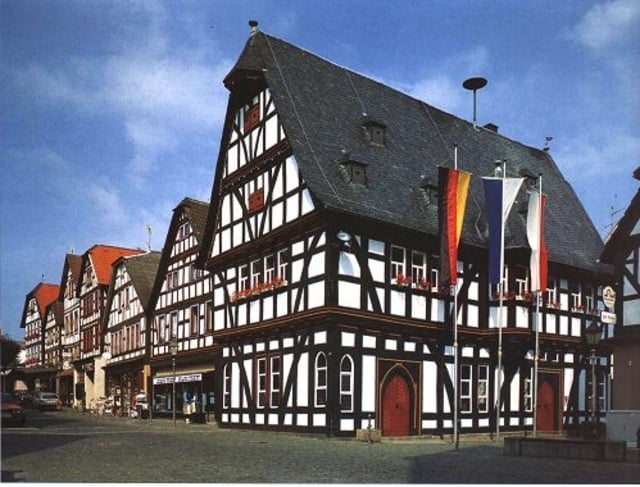
Nidda-Unterschmitten-Oberschmitten-
Ziegelhütte-Burkhards-Kaulstoß-
Sichenhausen-Hoherodskopf-Taufsteinhütte-
Fischteiche-Niddaquelle-Fischteiche-
Gackerstein-Michelbach Sportplatz-
Lehrerheim-Galgenberg-Läunsbach-
Stausee-Rainrod-Eichelsdorf-
Oberschmitten-Unterschmitten-Kohden-Nidda
Eine schöne aber auch etwas längere Runde auf den Hoherodskopf und über einige Trails an Schotten vorbei wieder zurück nach Nidda.
Viel Spaß dabei !
Grüße und ein langes Leben wünscht
Klaus (Big-Uphill-L)
Stationen:
Nidda-Unterschmitten-Oberschmitten-
Ziegelhütte-Burkhards-Kaulstoß-
Sichenhausen-Hoherodskopf-Taufsteinhütte-
Fischteiche-Niddaquelle-Fischteiche-
Gackerstein-Michelbach Sportplatz-
Lehrerheim-Galgenberg-Läunsbach-
Stausee-Rainrod-Eichelsdorf-
Oberschmitten-Unterschmitten-Kohden-Nidda
Tour gallery

Tour map and elevation profile
Minimum height 135 m
Maximum height 749 m
More about the tour author
|
|
klausemann |
Comments
In Nidda einfach auf dem großen Parkplatz am Bürgenhaus/Schwimmbad parken !
Achtung : Nicht auf den kleinen Parkplätzen mit den Parkscheinautomaten !
Sonst gibts evtl. ein Knöllchen und das braucht ja kein Mensch !
Achtung : Nicht auf den kleinen Parkplätzen mit den Parkscheinautomaten !
Sonst gibts evtl. ein Knöllchen und das braucht ja kein Mensch !
GPS tracks
Trackpoints-
GPX / Garmin Map Source (gpx) download
-
TCX / Garmin Training Center® (tcx) download
-
CRS / Garmin Training Center® (crs) download
-
Google Earth (kml) download
-
G7ToWin (g7t) download
-
TTQV (trk) download
-
Overlay (ovl) download
-
Fugawi (txt) download
-
Kompass (DAV) Track (tk) download
-
Track data sheet (pdf) download
-
Original file of the author (gpx) download
More about the tour author
|
|
klausemann |
Add to my favorites
Remove from my favorites
Edit tags
Open track
My score
Rate
Sehr schön!