
")

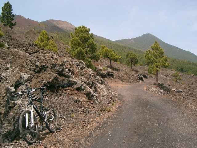
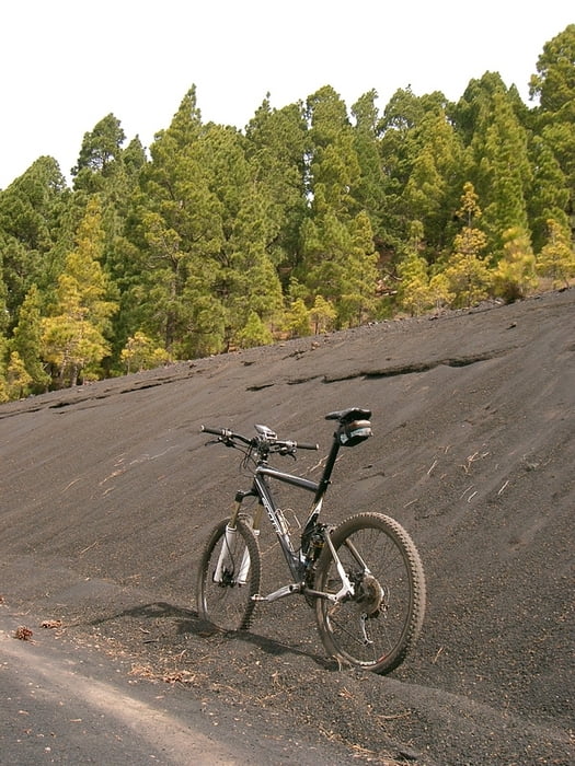
los gehts richtung picknickplätze im süden der cumbre vieja. und dann gehts immer auf asche an der westseite der cumbre vieja richtung norden vorbei am lavafeld los sables, dem lavafeld des san juan bis zur teerstraße richtung refugio pilar. hier folgen wir jetzt der teerstraße zum refugio und dann kurz auf teer downhill bis rechts der schotter-aschedownhill auf der ostseite der cumbre vieja losgeht. dem folgen wir gen süden bis wir nach 16 km auf die LP 1 stoßen auf der wir dann zum start nach fuencaliente fahren!
Further information at
http://www.hegibiketours.deTour gallery
Tour map and elevation profile
Minimum height 737 m
Maximum height 1504 m
More about the tour author
|
|
hegi |
Comments

start in fuencaliente an der hauptstraße LP 1
GPS tracks
Trackpoints-
GPX / Garmin Map Source (gpx) download
-
TCX / Garmin Training Center® (tcx) download
-
CRS / Garmin Training Center® (crs) download
-
Google Earth (kml) download
-
G7ToWin (g7t) download
-
TTQV (trk) download
-
Overlay (ovl) download
-
Fugawi (txt) download
-
Kompass (DAV) Track (tk) download
-
Track data sheet (pdf) download
-
Original file of the author (gpx) download
More about the tour author
|
|
hegi |
Add to my favorites
Remove from my favorites
Edit tags
Open track
My score
Rate