Login

Forgot your login?

Cookies have to be accepted!
Your browser's cookie functionality is disabled. Please enable this functionality.

Not a member yet?

Register now
Login

Available for registred users only

Log in to use this feature.

Forgot your login?

Cookies have to be accepted!
Your browser's cookie functionality is disabled. Please enable this functionality.

Not a member yet?

Register now
Filter
Categories
Advanced filters
  • Distance (km)
  • Height
Save filters Reset filter

TrackRank

QRCode

Technical data

Distance53,9 km Height872 m Way down879 m Duration03:30 h:m Date17.03.2015
Scores Author Landscape Fun factor Fitness Technique

Statistics

504 Views Scores 33 Downloads Average
Rate
  • Track data sheet
  • Directions
  • Downloads

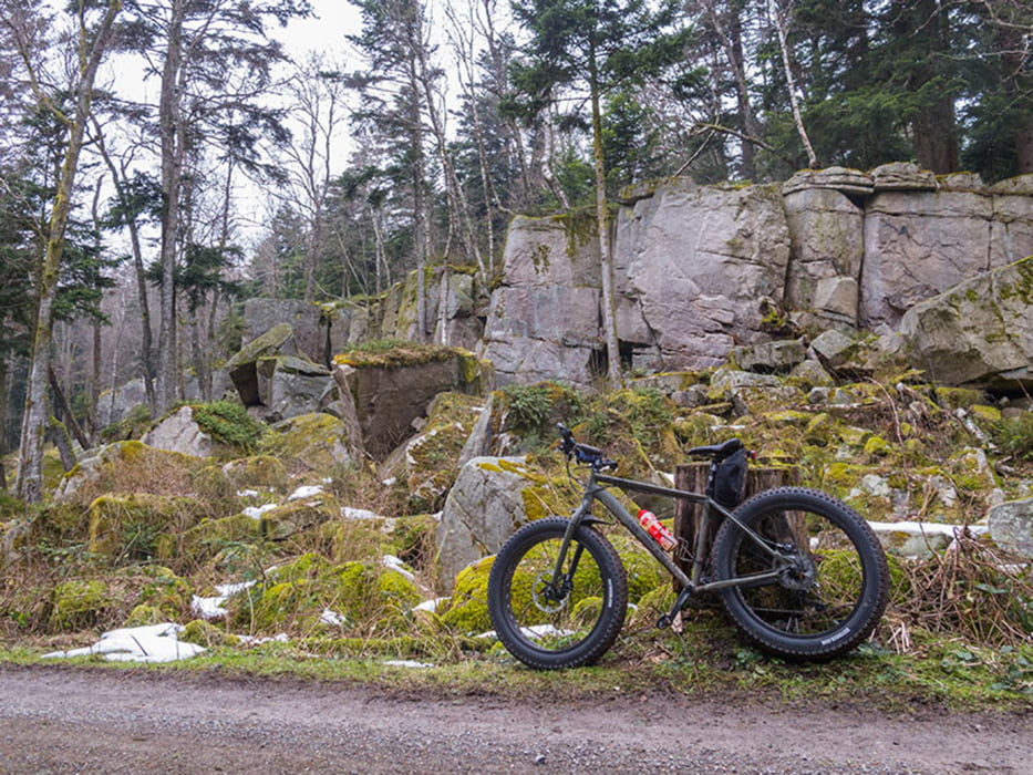
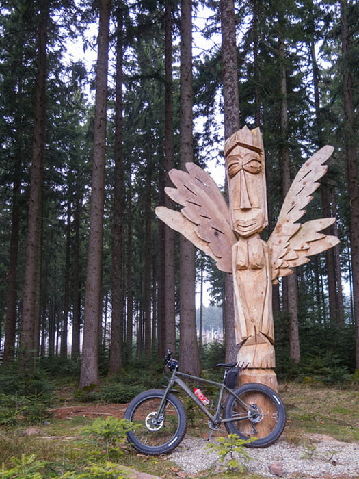
Meist auf Waldwegen unterwegs, Rückweg auf asphaltiertem Albtalradweg.

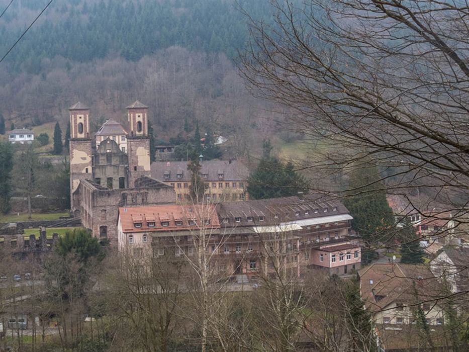
Strecke: Busenbach - Reichenbach - Etzenrot - Spielberg - Jakobsbrunnen - Ittersbach - Conweiler - Dennach - Dreimarkstein - Volzemer Stein - Dobel - Herrlingsweg - Gaißtal - Bad Herrenalb (Cafè) - Albtalradweg - Reichenbach - Busenbach.


Further information at

http://www.velotouren.net/radtouren/touren/touren2015/rund-um-karlsruhe/ruka1507/

Tour gallery

Tour map and elevation profile

  • Open Street Map
  • Google
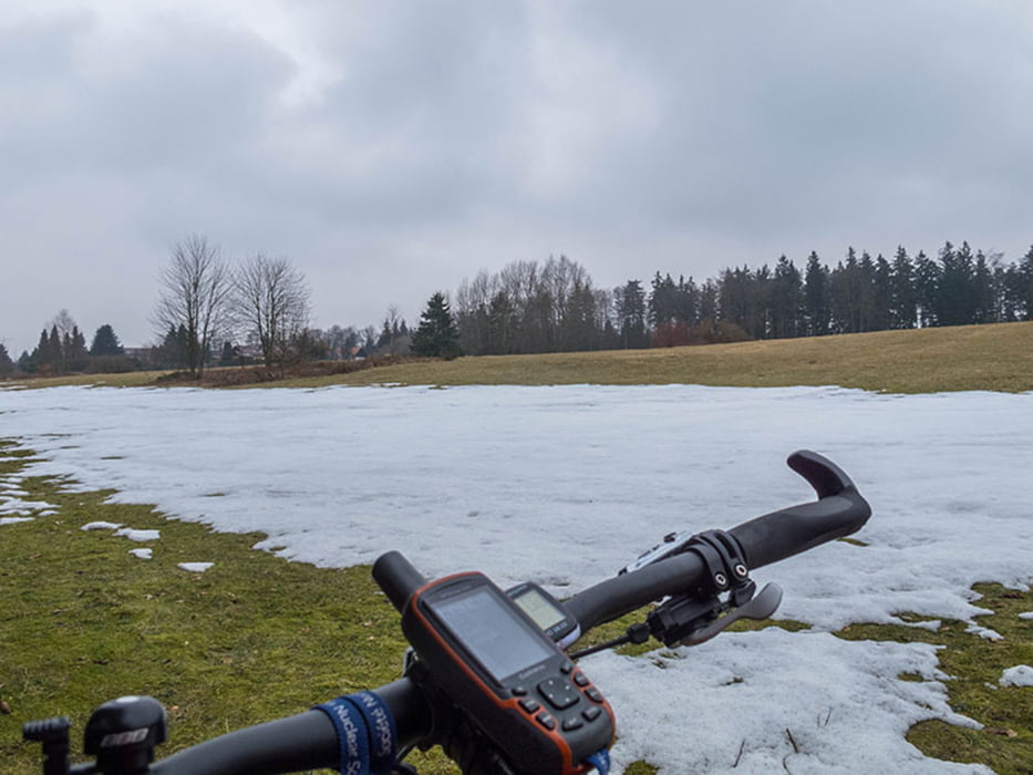
Minimum height 194 m Maximum height 722 m Detailed view

More about the tour author

Moppedcarlo
Member since 2008

Send private message

Comments

Soaring138 on 15.06.2015

Rückfahrt Herrenalb - Neurod

Ich finde schade, auf asphaltierten Straßen zurück zu fahren, wenn auf der linken Seite der Alb schöne Forstwege bis Ettlingen führen.
Nur so, als Tipp ;-)

Cheers !

Hi,
da hast du recht, aber ich hatte es eilig und da ist der asphaltierte Weg schneller.
Nächstes Mal wieder offroad ;-)

Ciao, Carlo

GPS tracks

Trackpoints
  • GPX / Garmin Map Source (gpx) download
  • TCX / Garmin Training Center® (tcx) download
  • CRS / Garmin Training Center® (crs) download
  • Google Earth (kml) download
  • G7ToWin (g7t) download
  • TTQV (trk) download
  • Overlay (ovl) download
  • Fugawi (txt) download
  • Kompass (DAV) Track (tk) download
  • Track data sheet (pdf) download
  • Original file of the author (gpx) download

More about the tour author

Moppedcarlo
Member since 2008

Send private message
Share track
Add to my favorites
Remove from my favorites
Edit tags
My score
Rate
Track: Von Waldbronn über Conweiler nach Dobel und zurück
Type: Mountain bike
Distance: 53,9 km
Evaluated on:
Duration:
Day(s)
Hour(s)
Minute(s)
Score: Landscape Fun factor Fitness Technique