
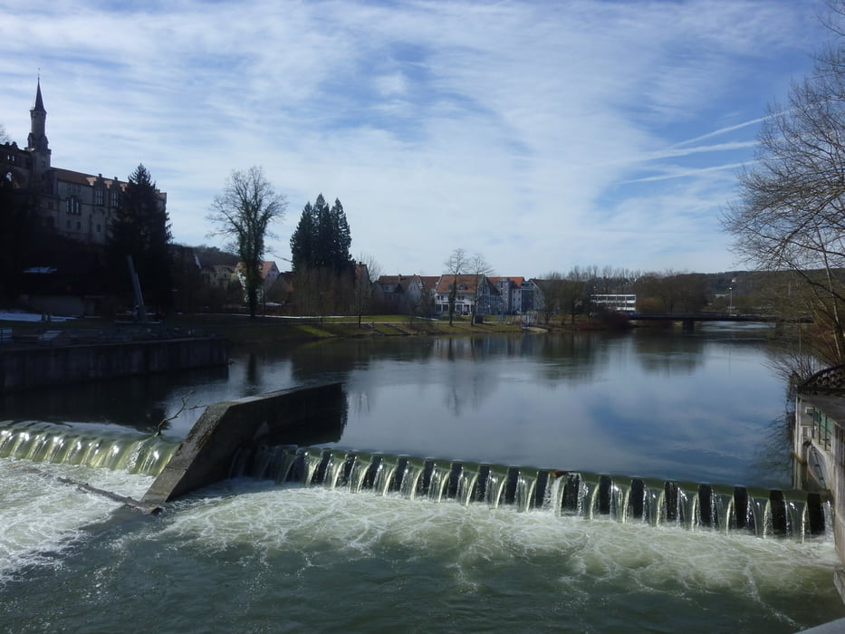

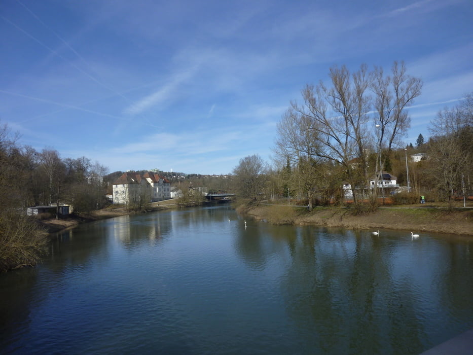
Schöne Tour um Sigmaringen herum.
Die Tour führt an schöne Rastplätze an der Donau vorbei, bietet in der netten Fußgängerzone Möglichkeiten zur Einkehr und lässt bei leicht ansteigendem Gefälle über Wiesen und Felder Panoramablicke auf Sigmaringen und die Donau zu..
Zwischendurch kann man im italienischen Kaffeehäuschen direkt an der Donau das gesellige Treiben der Leute mitverfolgen.
Fazit: Für Alle Romantiker, die mit Ihren Frühlingsgefühlen nicht mehr hinterm Berg halten können:-))
Tour gallery


Tour map and elevation profile
Minimum height 553 m
Maximum height 678 m
More about the tour author

|
Guddy |
Comments

GPS tracks
Trackpoints-
GPX / Garmin Map Source (gpx) download
-
TCX / Garmin Training Center® (tcx) download
-
CRS / Garmin Training Center® (crs) download
-
Google Earth (kml) download
-
G7ToWin (g7t) download
-
TTQV (trk) download
-
Overlay (ovl) download
-
Fugawi (txt) download
-
Kompass (DAV) Track (tk) download
-
Track data sheet (pdf) download
-
Original file of the author (gpx) download
More about the tour author
|
|
Guddy |
Add to my favorites
Remove from my favorites
Edit tags
Open track
My score
Rate