


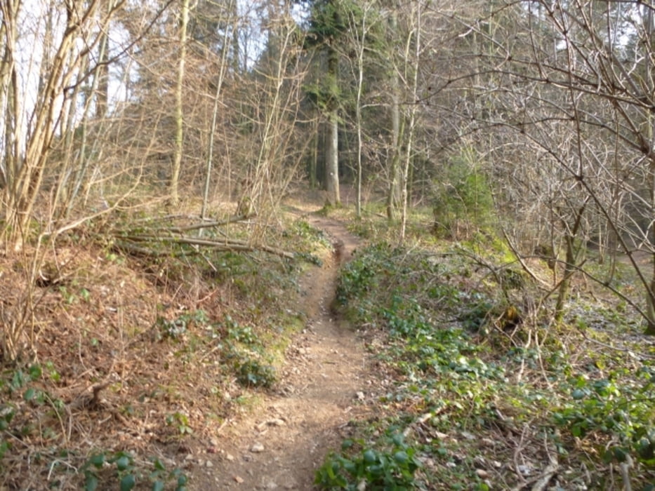
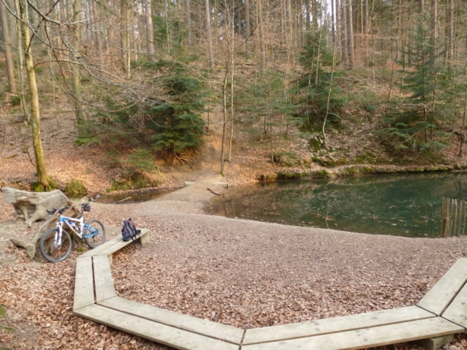
Tour beginnt beim Biosk am Alten Messplatz im Freiburger Osten.Dreisamuferweg stadtauswärts bis Sandfangbrücke, in die Kartäuserstrasse und hoch Richtung St. Ottilien. Zunächst Asfalt, dann Forstweg und Trail. Auffahrt zum Rosskopfturm über Trail und teilweise FW. Kandelhöhenweg folgen bis kurz vor dem Streckereck, dort scharf links zum Wildtalereck (Schöner Pausenplatz) und weiter runter nach Wildtal. Von Wildtal wieder Auffahrt zur Zähringer Burg und weiter zur Ladstatt und zum Panoramahotel.Der Schlenker zum Katharinenbrunnen beinhaltet noch ein paar Höhenmeter, dann gehts abwärts zurück zur Dreisam. Hoher Trailanteil sowohl rauf wie runter
Tour gallery


Tour map and elevation profile
Minimum height 255 m
Maximum height 744 m
More about the tour author
|
|
Joachim59 |
Comments

Biosk am Alten Messplatz im Freiburger Osten
GPS tracks
Trackpoints-
GPX / Garmin Map Source (gpx) download
-
TCX / Garmin Training Center® (tcx) download
-
CRS / Garmin Training Center® (crs) download
-
Google Earth (kml) download
-
G7ToWin (g7t) download
-
TTQV (trk) download
-
Overlay (ovl) download
-
Fugawi (txt) download
-
Kompass (DAV) Track (tk) download
-
Track data sheet (pdf) download
-
Original file of the author (gpx) download
More about the tour author
|
|
Joachim59 |
Add to my favorites
Remove from my favorites
Edit tags
Open track
My score
Rate