


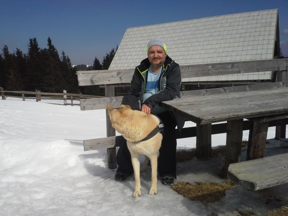
Eine tolle Runde zum Winterschluss bei reichlich Schnee und herrlichen Wetter.
Die Runde ging vom Biotop Parkplatz über den Schindelsteig zur Marienseer Schwaig dort gab es eine kurze Pause bevor es am Rand Loipe entlang Richtung Dreiländereck ging.
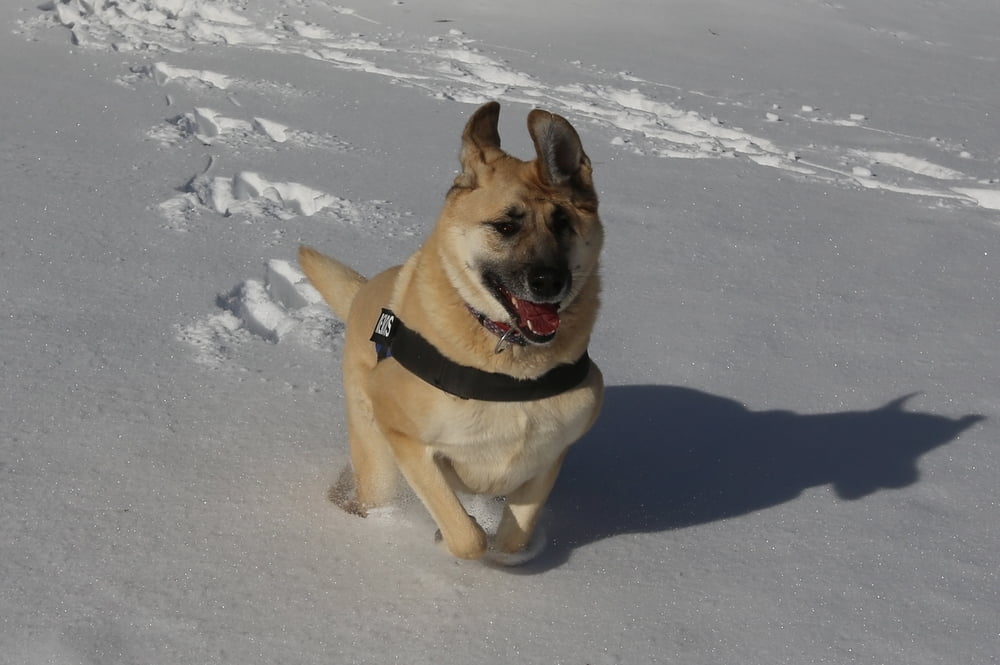
Knapp davor zweigt eine Forststraße nach rechts runter ab die der Wandershund und ich bei schönen Schneeverhältnissen runter marschierten. Immer auf diesen Weg bleibend kommt man dann zum Wasserfallrundweg, von dort ging es dann runter Richtung Auto.
Tour gallery


Tour map and elevation profile
Minimum height 847 m
Maximum height 1530 m
More about the tour author
|
|
Yeti2333 |
Comments

über die S1 und A2 bis Abfahrt Edlitz Aspang und die B54, beim Kreisverkehr in Aspang Richtung Mariensee und bis zum Biotop Parkplatz nach der Ortschaft Mariensee.
GPS tracks
Trackpoints-
GPX / Garmin Map Source (gpx) download
-
TCX / Garmin Training Center® (tcx) download
-
CRS / Garmin Training Center® (crs) download
-
Google Earth (kml) download
-
G7ToWin (g7t) download
-
TTQV (trk) download
-
Overlay (ovl) download
-
Fugawi (txt) download
-
Kompass (DAV) Track (tk) download
-
Track data sheet (pdf) download
-
Original file of the author (gpx) download
More about the tour author
|
|
Yeti2333 |
Add to my favorites
Remove from my favorites
Edit tags
Open track
My score
Rate