


Für die Wanderung sollte das Wetter zuverlässig gut sein, und man sollte festes Schuhwerk anhaben, das dem Geröll widersteht. Klettern ist nicht notwendig. Ich denke dass fitte Kinder ab etwa 12 Jahren die Strecke schaffen.
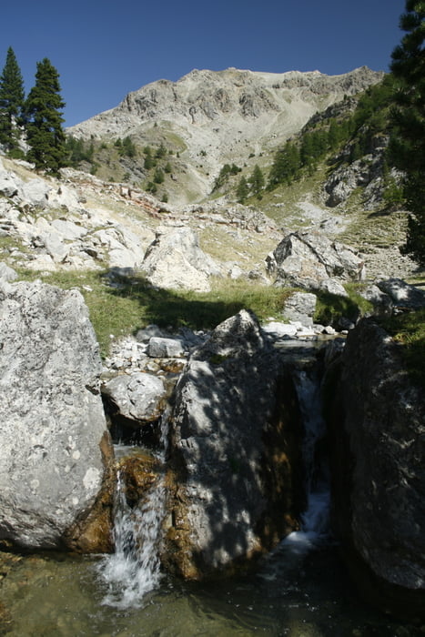
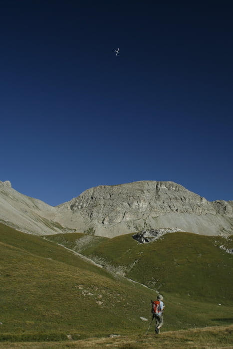
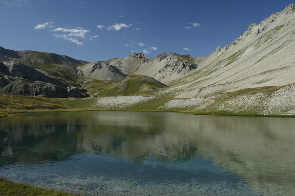
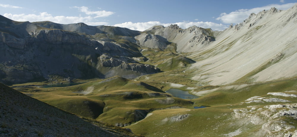
Tour gallery
Tour map and elevation profile
Minimum height 1786 m
Maximum height 2470 m
More about the tour author

|
freichmann |
Comments

Schlafen kann man z.B. auf dem Campingplatz Le Verger.
Von dort aus fährt man zum Startpunkt der Wanderung in "Le Lauzet" per Auto. Das liegt auf etwa 1790m.
Danach einfach der Route folgen.
GPS tracks
Trackpoints-
GPX / Garmin Map Source (gpx) download
-
TCX / Garmin Training Center® (tcx) download
-
CRS / Garmin Training Center® (crs) download
-
Google Earth (kml) download
-
G7ToWin (g7t) download
-
TTQV (trk) download
-
Overlay (ovl) download
-
Fugawi (txt) download
-
Kompass (DAV) Track (tk) download
-
Track data sheet (pdf) download
-
Original file of the author (gpx) download
More about the tour author
|
|
freichmann |
Add to my favorites
Remove from my favorites
Edit tags
Open track
My score
Rate