


Kühl, windig, ein kurzer Graupelschauer - das Wetter war aber relativ gnädig mit uns.
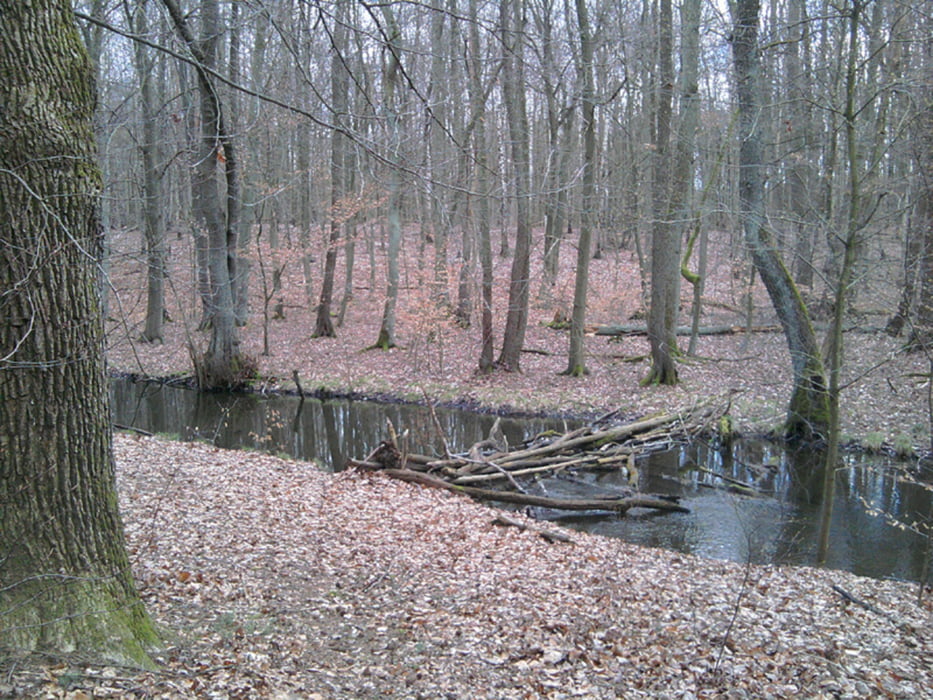
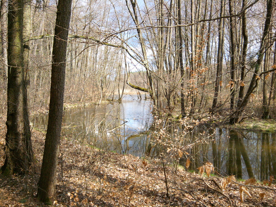
Vom S-Bahnhof Mühlenbeck-Mönchmühle durch Mühlenbeck nach Noden, immer am Tegeler Fließ entlang. Bis, ja bis zur "Brücke". Statt drüber zu balancieren sind wir lieber abgebogen und haben die Schloßruine Dammsmühle rechts liegen lassen.
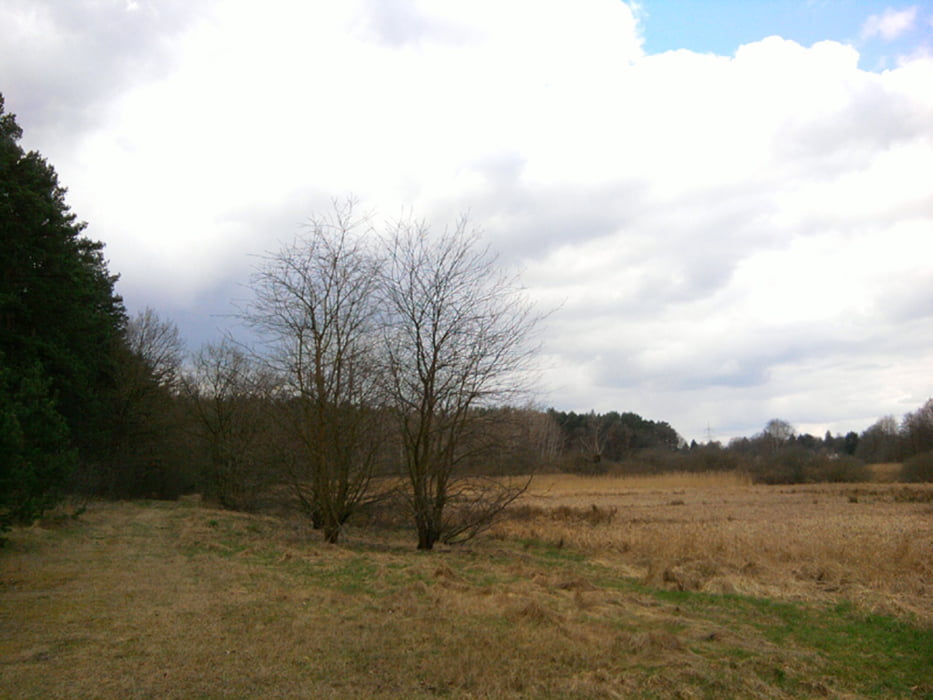
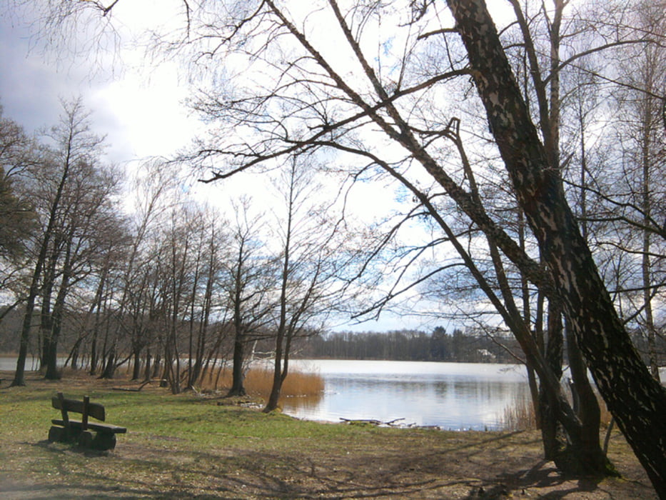
Um den Summter See und dann wieder südwärts zum S-Bahnhof Bergfelde.
Vom S-Bahnhof Mühlenbeck-Mönchmühle durch Mühlenbeck nach Noden, immer am Tegeler Fließ entlang. Bis, ja bis zur "Brücke". Statt drüber zu balancieren sind wir lieber abgebogen und haben die Schloßruine Dammsmühle rechts liegen lassen.
Um den Summter See und dann wieder südwärts zum S-Bahnhof Bergfelde.
Further information at
http://www.xxrhahn.de/touren/ostern-2015_summter-see/index.htmlTour gallery
Tour map and elevation profile
Minimum height 81 m
Maximum height 145 m
More about the tour author

|
xxrhahn |
Comments

Anfahrt S-Bahnhof Mühlenbeck-Mönchmühle
Heimwärts ab S-Bahnhof Bergfelde (alle 20 min)
GPS tracks
Trackpoints-
GPX / Garmin Map Source (gpx) download
-
TCX / Garmin Training Center® (tcx) download
-
CRS / Garmin Training Center® (crs) download
-
Google Earth (kml) download
-
G7ToWin (g7t) download
-
TTQV (trk) download
-
Overlay (ovl) download
-
Fugawi (txt) download
-
Kompass (DAV) Track (tk) download
-
Track data sheet (pdf) download
-
Original file of the author (gpx) download
More about the tour author
|
|
xxrhahn |
Add to my favorites
Remove from my favorites
Edit tags
Open track
My score
Rate