


25.3.2008
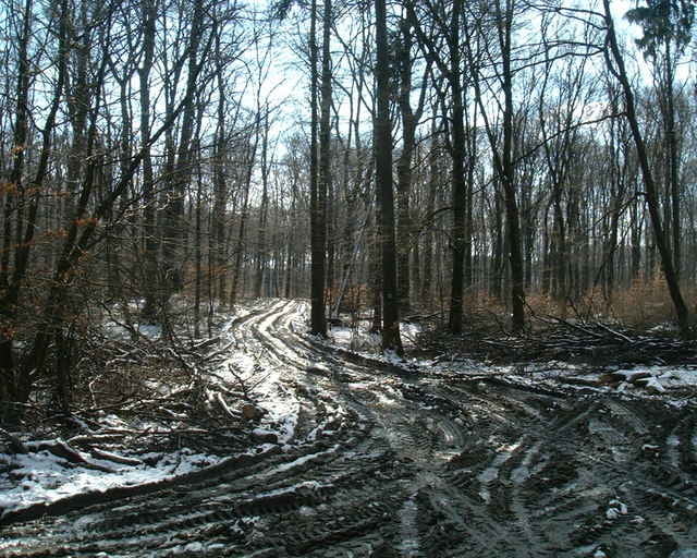
Pôvodne som chcel prejsť nielen trasu RCP up-hillu, ale aj Svätojurského maratónu. Lenže bolo také čvachtavé blatko, ktoré sa riadne šmýkalo, tak som to zabalil. Zjazdy boli riadne pomalé a na to som teda nervy nemal.
Pôvodne som chcel prejsť nielen trasu RCP up-hillu, ale aj Svätojurského maratónu. Lenže bolo také čvachtavé blatko, ktoré sa riadne šmýkalo, tak som to zabalil. Zjazdy boli riadne pomalé a na to som teda nervy nemal.
Tour gallery
Tour map and elevation profile
Minimum height 140 m
Maximum height 420 m
More about the tour author
|
|
tmax |
Comments

Bratislava - Líščie údolie - Železná studnička - Klanec - Kačín - Snežienka - Vydrická nádrž I - Kamzík - Briežky - Ahoj - Kamzík - Snežienka - Železná studnička - BA-Dúbravka - Líščie údolie - BA-Karlova Ves
GPS tracks
Trackpoints-
GPX / Garmin Map Source (gpx) download
-
TCX / Garmin Training Center® (tcx) download
-
CRS / Garmin Training Center® (crs) download
-
Google Earth (kml) download
-
G7ToWin (g7t) download
-
TTQV (trk) download
-
Overlay (ovl) download
-
Fugawi (txt) download
-
Kompass (DAV) Track (tk) download
-
Track data sheet (pdf) download
-
Original file of the author (g7t) download
More about the tour author
|
|
tmax |
Add to my favorites
Remove from my favorites
Edit tags
Open track
My score
Rate