

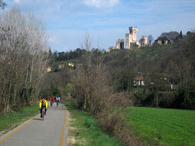
Nice tour along the river Mincio. The bike track on the river is mostly in good condition and often situated on both sides of the river.
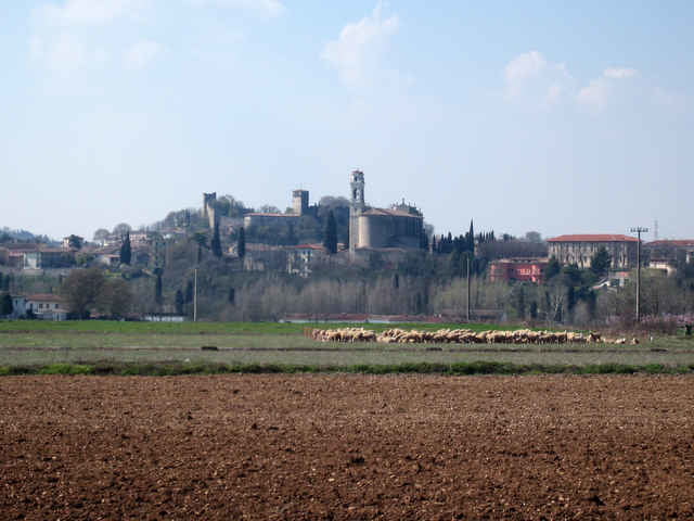
The landscape is in the more northern part more interesting then in the south near Mantova where the flood plain of the Po begins and the landscape is very flat there.
The landscape is in the more northern part more interesting then in the south near Mantova where the flood plain of the Po begins and the landscape is very flat there.
Tour gallery
Tour map and elevation profile
Minimum height 16 m
Maximum height 151 m
More about the tour author

|
Comments

Any city or village in the south of Lake Garda such as Bardolino, Calmasino, Peschiera.
Note: The street along the lake called gardesana is on weekends or holydays often packed.
Note: The street along the lake called gardesana is on weekends or holydays often packed.
GPS tracks
Trackpoints-
GPX / Garmin Map Source (gpx) download
-
TCX / Garmin Training Center® (tcx) download
-
CRS / Garmin Training Center® (crs) download
-
Google Earth (kml) download
-
G7ToWin (g7t) download
-
TTQV (trk) download
-
Overlay (ovl) download
-
Fugawi (txt) download
-
Kompass (DAV) Track (tk) download
-
Track data sheet (pdf) download
-
Original file of the author (gpx) download
More about the tour author
|
|
Add to my favorites
Remove from my favorites
Edit tags
Open track
My score
Rate