
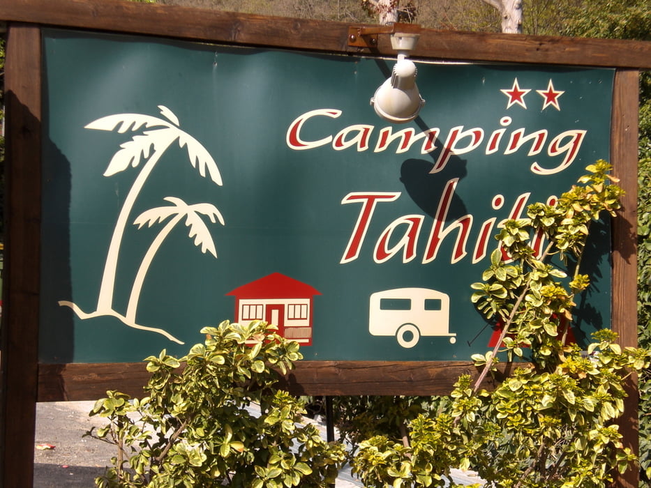

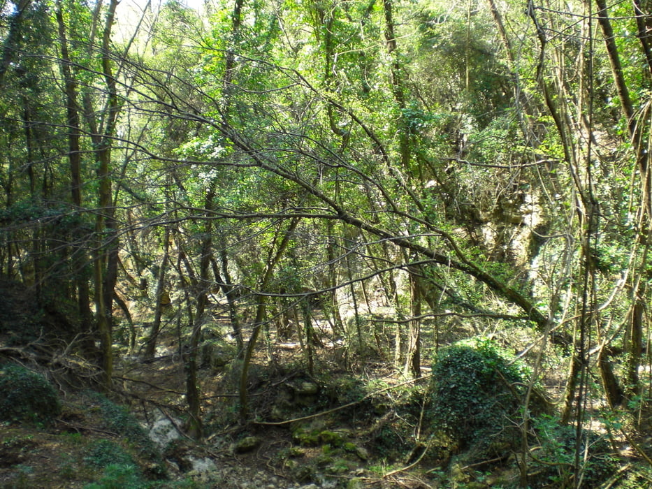
vom Camping Tahiti durch die Stadt hinauf nach San Bernardo. Hier den Haupttrail (leider wurde der Weg durch Forstmaschinen stark verbreitert) entlang Richtung Bric Reseghe. Wir umrunden praktisch den Bric Reseghe. Anfangs schmaler Waldtrail mit einigen Felsstücken durchsetzt. Dann später aber ziemlich verblockt abwärts manchmal auch mit kurzen Gegenanstiegen. Alles zwischen S2 und S3. Wir kommen an der Kirche oberhalb von Calvisio raus. Kurz nach einem Bildstock geht dann der Trail hinunter nach Calvisio (steil - Plastersteine). Von hier dann steil auf Asphalt hoch nach Verzi und das Val Ponti entlang gefahren. Nach einer Brücke gehts auf einem Waldweg links nach Manie. Hier auf den Manietrails am Camping San Martino vorbei zum FR Downhill La Briega. Hört sich schlimmer an als das er ist. Alles im S1-Bereich fahrbar. Der Trail kommt in Finalpina raus. Von hier wieder zurück zum Camping.
Tour gallery
Tour map and elevation profile
Minimum height -40 m
Maximum height 327 m
More about the tour author
|
|
Fruehaufsteher |
Comments

GPS tracks
Trackpoints-
GPX / Garmin Map Source (gpx) download
-
TCX / Garmin Training Center® (tcx) download
-
CRS / Garmin Training Center® (crs) download
-
Google Earth (kml) download
-
G7ToWin (g7t) download
-
TTQV (trk) download
-
Overlay (ovl) download
-
Fugawi (txt) download
-
Kompass (DAV) Track (tk) download
-
Track data sheet (pdf) download
-
Original file of the author (gpx) download
More about the tour author
|
|
Fruehaufsteher |
Add to my favorites
Remove from my favorites
Edit tags
Open track
My score
Rate