


Nette Runde mit Auffahrt über die alte Ponalestrasse nach Pregasina. Von dort geht es weiter hoch zum Passo Rochetta und dann in Richtung Passo Nota.
Anschiessender Downhill zurück zur Ponalestrasse und nach Torbole.
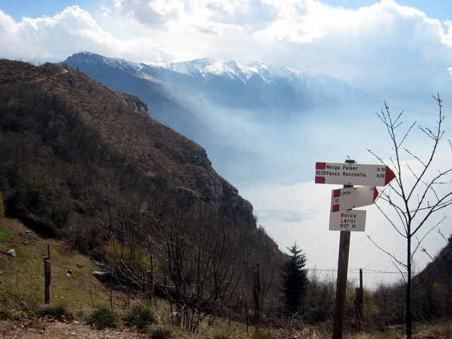
Tolle Ausblicke auf den See und in die umliegenden Berge.
Anschiessender Downhill zurück zur Ponalestrasse und nach Torbole.
Tolle Ausblicke auf den See und in die umliegenden Berge.
Further information at
http://www.bike-people.deTour gallery
Tour map and elevation profile
Minimum height 71 m
Maximum height 1213 m
More about the tour author

|
Disman |
Comments
Torbole oder Riva.
GPS tracks
Trackpoints-
GPX / Garmin Map Source (gpx) download
-
TCX / Garmin Training Center® (tcx) download
-
CRS / Garmin Training Center® (crs) download
-
Google Earth (kml) download
-
G7ToWin (g7t) download
-
TTQV (trk) download
-
Overlay (ovl) download
-
Fugawi (txt) download
-
Kompass (DAV) Track (tk) download
-
Track data sheet (pdf) download
-
Original file of the author (gpx) download
More about the tour author
|
|
Disman |
Add to my favorites
Remove from my favorites
Edit tags
Open track
My score
Rate
GPS-Genauigkeit
Gegen Ende, bei der Kopfsteinplaster-Abfahrt führte der Track weiter rechts, als ich gefahren bin. Ich fand ja, dass es da fast senkrecht runter ging. Einen Weg oder Trail rechts von der Straße habe ich nicht gesehen. War das GPS an der Stelle zu ungenau ?