
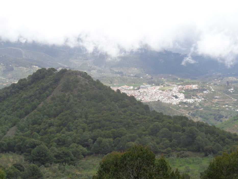

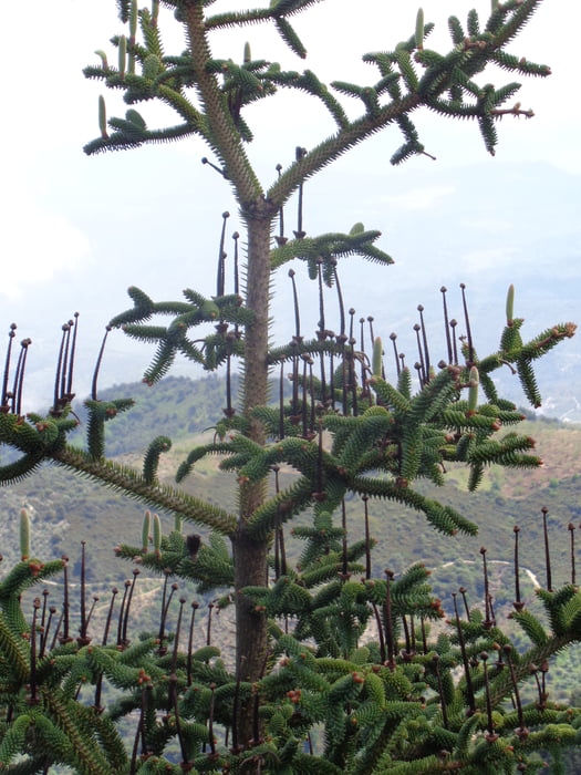
Wir starten vom Campingplatz "Pinsapo Azul" und dem Freizeitzentrum gleich nach rechts durch Oliventerrassen und Weinstöcken hinauf zu einer kleinen Kuppe. Hier hinunter in die Senke zum Waldrand. Durch den schluchtartigen Einschnitt stoßen wir auf eine Forststraße. Dieser folgen wir nach links, vorbei an der Abzweigung nach Los Sauces und sehen am Ende der Straße links oben die Höhle "Cueva del Agua". Auf dem Bergpfad kommen wir an den höchsten Punkt unserer Wanderung. Kurz darauf kommen wir zu einer Igeltanne mit eigenartiger Wuchsform: "Der Kandelaber".
Am Aussichtspunkt "Mirador del Saucillo" hat der Pfad ein Ende. Bei schöner Sicht ins Tal kommen wir über den Zufahrtsweg wieder beim Campingplatz an.
Tour gallery

Tour map and elevation profile
Minimum height 724 m
Maximum height 1264 m
More about the tour author

|
JoHangler |
Comments

Von Marbella auf der A355 nach Coin. Auf der A366 nach Yunquera.
GPS tracks
Trackpoints-
GPX / Garmin Map Source (gpx) download
-
TCX / Garmin Training Center® (tcx) download
-
CRS / Garmin Training Center® (crs) download
-
Google Earth (kml) download
-
G7ToWin (g7t) download
-
TTQV (trk) download
-
Overlay (ovl) download
-
Fugawi (txt) download
-
Kompass (DAV) Track (tk) download
-
Track data sheet (pdf) download
-
Original file of the author (gpx) download
More about the tour author
|
|
JoHangler |
Add to my favorites
Remove from my favorites
Edit tags
Open track
My score
Rate