


Start der Tour ist beim Friedhof in Gaaden.
Über den Gumpoldskirchnersteig (Forststraße) und Wanderwege geht es auf die Wilhelmswarte.
Von der Warte weiter über Wanderwege Richtung Gumpoldskirchen, beim Richhardshof vorbei zur breiten Föhre.
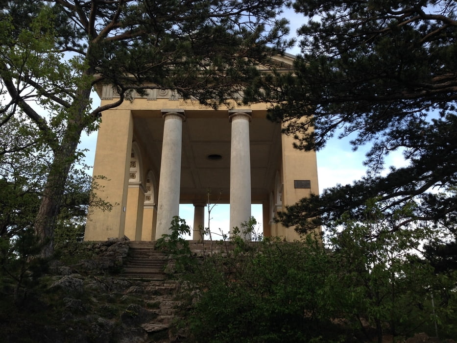
Ab der breiten Föhre Richtung Meiereiwiese und über den "Dreistundenweg" hinauf zum Husarentempel.
Über Forststraßen geht es weiter zur Krausten Linde, Anningerhaus und wieder zurück nach Gaaden.
Further information at
http://anninger.heimat.eu/Tour gallery

Tour map and elevation profile
Minimum height 309 m
Maximum height 677 m
More about the tour author
|
|
kersti |
Comments

Parkmöglichkeit beim Friedhof Gaaden
GPS tracks
Trackpoints-
GPX / Garmin Map Source (gpx) download
-
TCX / Garmin Training Center® (tcx) download
-
CRS / Garmin Training Center® (crs) download
-
Google Earth (kml) download
-
G7ToWin (g7t) download
-
TTQV (trk) download
-
Overlay (ovl) download
-
Fugawi (txt) download
-
Kompass (DAV) Track (tk) download
-
Track data sheet (pdf) download
-
Original file of the author (gpx) download
More about the tour author
|
|
kersti |
Add to my favorites
Remove from my favorites
Edit tags
Open track
My score
Rate