


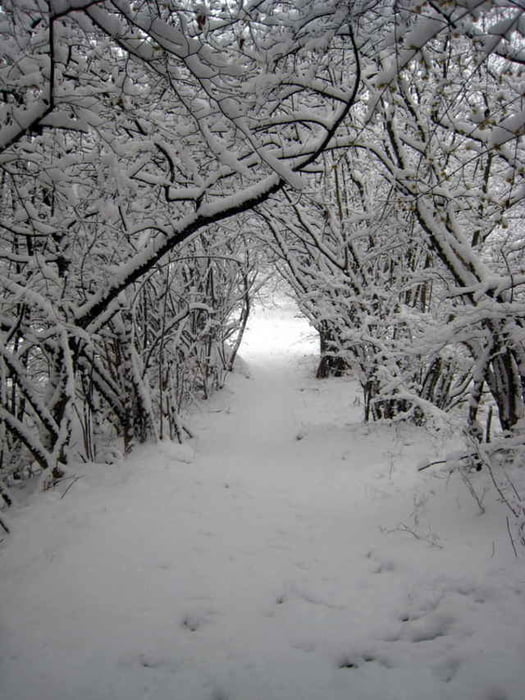
Im Grunde ganz brauchbare Tour, wenn es nicht gerade schneit, wie in unserem Fall. Die Auffahrt geht ähnlich wir beim Passo San Giovanni grösstenteils auf Asphalt. Oben angekommen geht es wieder zurück Richtung Arco/Riva auf brauchbaren Single Trails.
Es gibt auch gute Kombinationsmöglichkeiten mit San Giovani oder Tenno.
Es gibt auch gute Kombinationsmöglichkeiten mit San Giovani oder Tenno.
Further information at
http://www.bike-people.deTour gallery
Tour map and elevation profile
Minimum height 66 m
Maximum height 1098 m
More about the tour author

|
Disman |
Comments

Torbole, Riva oder gleich Arco.
GPS tracks
Trackpoints-
GPX / Garmin Map Source (gpx) download
-
TCX / Garmin Training Center® (tcx) download
-
CRS / Garmin Training Center® (crs) download
-
Google Earth (kml) download
-
G7ToWin (g7t) download
-
TTQV (trk) download
-
Overlay (ovl) download
-
Fugawi (txt) download
-
Kompass (DAV) Track (tk) download
-
Track data sheet (pdf) download
-
Original file of the author (gpx) download
More about the tour author
|
|
Disman |
Add to my favorites
Remove from my favorites
Edit tags
Open track
My score
Rate