


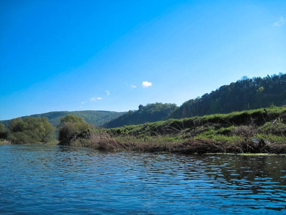
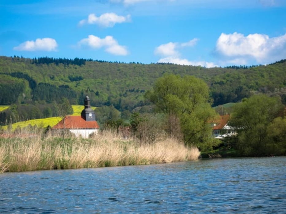
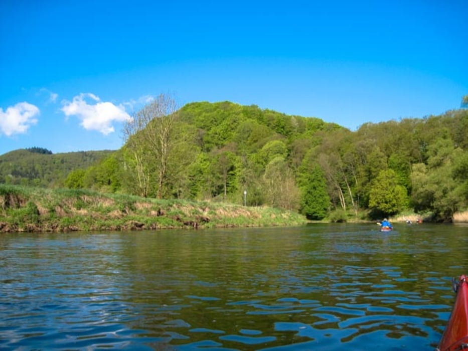
Jedes Jahr am ersten Maiwochenende als Veranstaltung von Witzenhäusener KC organisierte Paddeltour. Dies hat den komfortablen Vorteil, dass man mit einem Bus die Rückfahrt zum Auto antreten kann. Mann kann auch zwei Etappen daraus machen und nur die 20 km von Eschwege nach Bad-Sooden oder von dort bis Witzenhausen paddeln.
Tour gallery

Tour map and elevation profile
Minimum height 113 m
Maximum height 173 m
More about the tour author
|
|
sugesei |
Comments

Gute Parkmöglichkeit und Einstieg oberhalb vom Wehr in Eschwege und gute Ausstiegsmöglichkeit beim KC Witzenhausen.
GPS tracks
Trackpoints-
GPX / Garmin Map Source (gpx) download
-
TCX / Garmin Training Center® (tcx) download
-
CRS / Garmin Training Center® (crs) download
-
Google Earth (kml) download
-
G7ToWin (g7t) download
-
TTQV (trk) download
-
Overlay (ovl) download
-
Fugawi (txt) download
-
Kompass (DAV) Track (tk) download
-
Track data sheet (pdf) download
-
Original file of the author (gpx) download
More about the tour author
|
|
sugesei |
Add to my favorites
Remove from my favorites
Edit tags
Open track
My score
Rate