Login

Forgot your login?

Cookies have to be accepted!
Your browser's cookie functionality is disabled. Please enable this functionality.

Not a member yet?

Register now
Login

Available for registred users only

Log in to use this feature.

Forgot your login?

Cookies have to be accepted!
Your browser's cookie functionality is disabled. Please enable this functionality.

Not a member yet?

Register now
Filter
Categories
Advanced filters
  • Distance (km)
  • Height
Save filters Reset filter

TrackRank

QRCode

Technical data

Distance17,4 km Height154 m Way down150 m Duration00:00 h:m Date03.05.2015
Scores Author Landscape Fun factor Fitness Technique

Statistics

530 Views Scores 22 Downloads Average
Rate
  • Track data sheet
  • Directions
  • Downloads
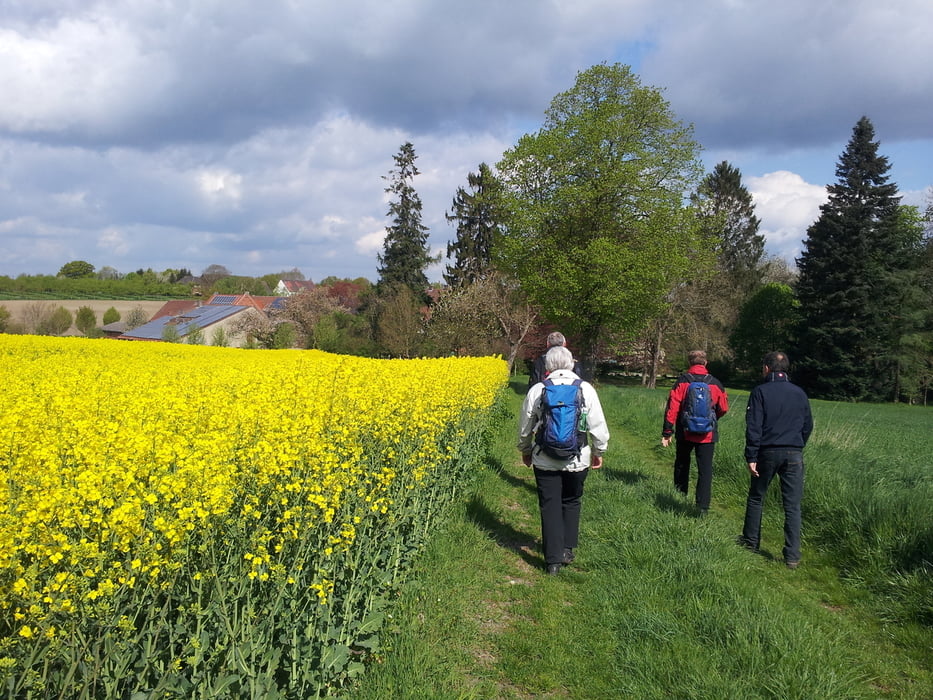
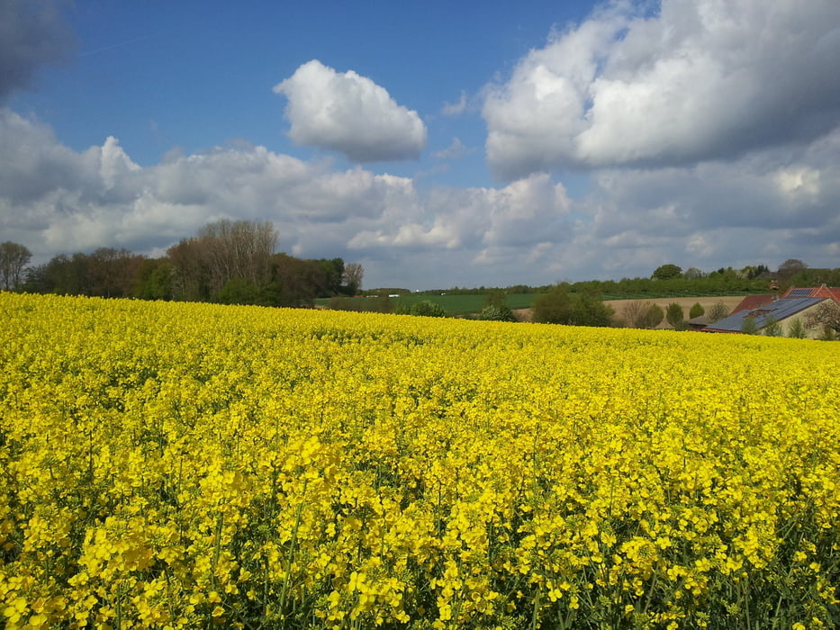
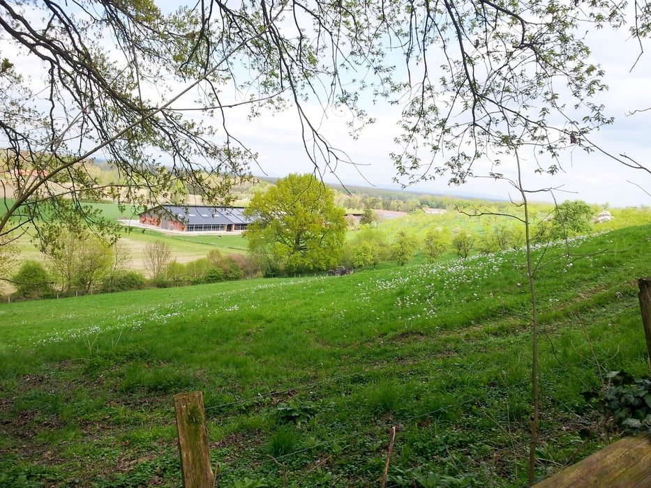
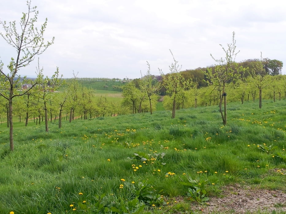
Start dieser Tour an der Burgbühne  - im Uhrzeigersinn. Diese abwechslungsreiche Strecke ist nicht ausgeschildert , führt dich aber auf kleinsten Pfaden um Stromberg herum.
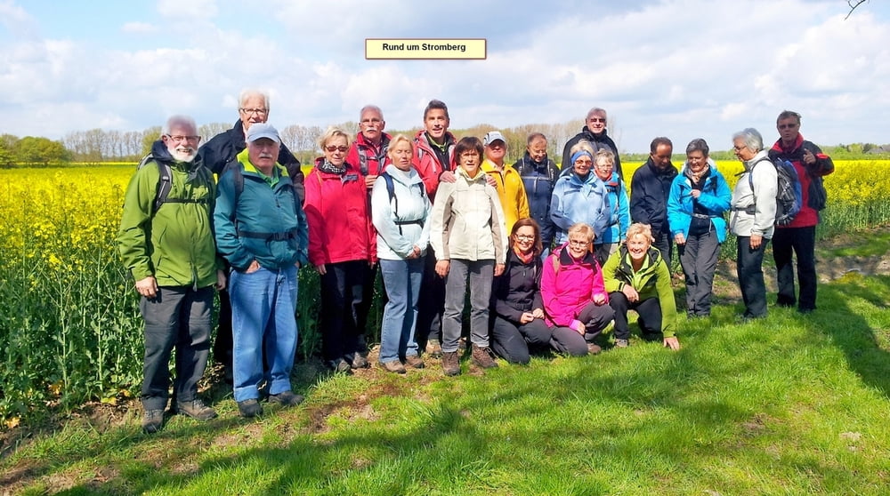
Tour gallery

Tour map and elevation profile

  • Open Street Map
  • Google
Minimum height 100 m Maximum height 162 m Detailed view

More about the tour author

radrolle48
Member since 2009

Send private message

Comments

GPS tracks

Trackpoints
  • GPX / Garmin Map Source (gpx) download
  • TCX / Garmin Training Center® (tcx) download
  • CRS / Garmin Training Center® (crs) download
  • Google Earth (kml) download
  • G7ToWin (g7t) download
  • TTQV (trk) download
  • Overlay (ovl) download
  • Fugawi (txt) download
  • Kompass (DAV) Track (tk) download
  • Track data sheet (pdf) download
  • Original file of the author (gpx) download

More about the tour author

radrolle48
Member since 2009

Send private message
Share track
Add to my favorites
Remove from my favorites
Edit tags
My score
Rate
Track: Rund um Stromberg
Type: Hiking
Distance: 17,4 km
Evaluated on:
Duration:
Day(s)
Hour(s)
Minute(s)
Score: Landscape Fun factor Fitness Technique