Login

Forgot your login?

Cookies have to be accepted!
Your browser's cookie functionality is disabled. Please enable this functionality.

Not a member yet?

Register now
Login

Available for registred users only

Log in to use this feature.

Forgot your login?

Cookies have to be accepted!
Your browser's cookie functionality is disabled. Please enable this functionality.

Not a member yet?

Register now
Filter
Categories
Advanced filters
  • Distance (km)
  • Height
Save filters Reset filter

TrackRank

QRCode

Technical data

Distance45,5 km Height480 m Way down484 m Duration02:10 h:m Date09.05.2015
Scores Author User Landscape Fun factor Fitness Technique

Statistics

312 Views Scores 28 Downloads Average
Rate
  • Track data sheet
  • Directions
  • Downloads

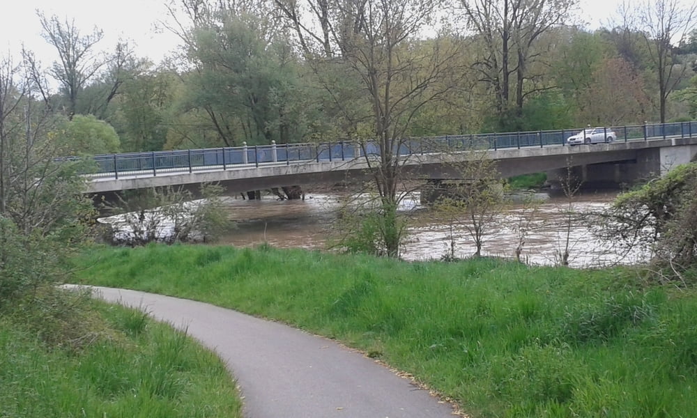
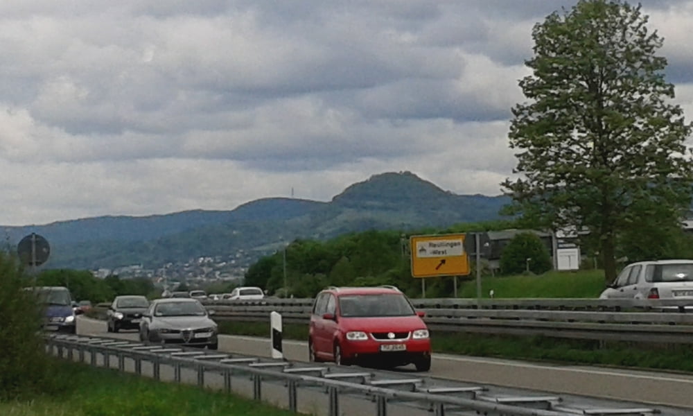
Start in Metzingen beim Bräuchlepark dann über das Neckartal nach Kirchentellinsfurter Baggersee von dort zum Hornbach bei Tübingen und dann über Radwege nach Reutlingen.Am Rosengarten vorbei nach Metzingen.


Tour gallery

Tour map and elevation profile

  • Open Street Map
  • Google
Minimum height 302 m Maximum height 476 m Detailed view

More about the tour author

Cokedealer
Member since 2013

Send private message

Comments

GPS tracks

Trackpoints
  • GPX / Garmin Map Source (gpx) download
  • TCX / Garmin Training Center® (tcx) download
  • CRS / Garmin Training Center® (crs) download
  • Google Earth (kml) download
  • G7ToWin (g7t) download
  • TTQV (trk) download
  • Overlay (ovl) download
  • Fugawi (txt) download
  • Kompass (DAV) Track (tk) download
  • Track data sheet (pdf) download
  • Original file of the author (gpx) download

More about the tour author

Cokedealer
Member since 2013

Send private message
Share track
Add to my favorites
Remove from my favorites
Edit tags
My score
Rate
Track: Konditionstraining
Type: Mountain bike
Distance: 45,5 km
Evaluated on:
Duration:
Day(s)
Hour(s)
Minute(s)
Score: Landscape Fun factor Fitness Technique