Login

Forgot your login?

Cookies have to be accepted!
Your browser's cookie functionality is disabled. Please enable this functionality.

Not a member yet?

Register now
Login

Available for registred users only

Log in to use this feature.

Forgot your login?

Cookies have to be accepted!
Your browser's cookie functionality is disabled. Please enable this functionality.

Not a member yet?

Register now
Filter
Categories
Advanced filters
  • Distance (km)
  • Height
Save filters Reset filter

TrackRank

QRCode

Technical data

Distance48,5 km Height558 m Way down544 m Duration02:54 h:m Date10.05.2015
Scores Author User Landscape Fun factor Fitness Technique

Statistics

329 Views Scores 34 Downloads Average
Rate
  • Track data sheet
  • Directions
  • Downloads

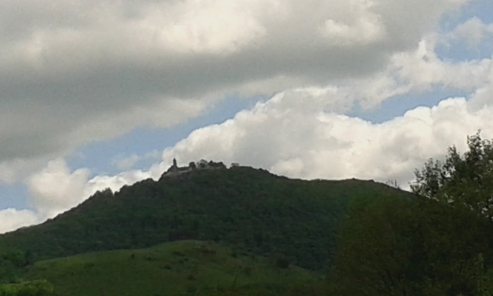
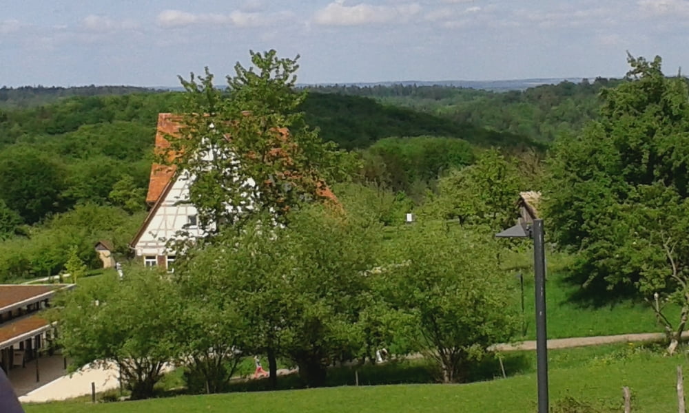
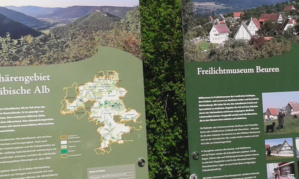
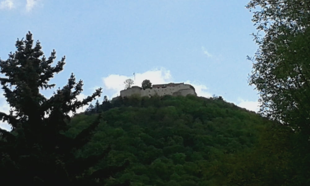
Ab Metzingen durch Raidwangen und Nürtingen ins Tiefenbachtal und dann auf weinem Teil einer Manuel Fumic Runde nach Owen .Von  dort aus über Balzholz nach Neuffen und dann nach Metzingen.Vom Falkenberg Haus über den Weinberg nach Metzingen zurück.


Tour gallery

Tour map and elevation profile

  • Open Street Map
  • Google
Minimum height 278 m Maximum height 481 m Detailed view

More about the tour author

Cokedealer
Member since 2013

Send private message

Comments

GPS tracks

Trackpoints
  • GPX / Garmin Map Source (gpx) download
  • TCX / Garmin Training Center® (tcx) download
  • CRS / Garmin Training Center® (crs) download
  • Google Earth (kml) download
  • G7ToWin (g7t) download
  • TTQV (trk) download
  • Overlay (ovl) download
  • Fugawi (txt) download
  • Kompass (DAV) Track (tk) download
  • Track data sheet (pdf) download
  • Original file of the author (gpx) download

More about the tour author

Cokedealer
Member since 2013

Send private message
Share track
Add to my favorites
Remove from my favorites
Edit tags
My score
Rate
Track: Metzingen -Bürgerseen-Metzingen
Type: Mountain bike
Distance: 48,5 km
Evaluated on:
Duration:
Day(s)
Hour(s)
Minute(s)
Score: Landscape Fun factor Fitness Technique