


Eine flotte Runde auf kleinen Straßen, bestens geeignet, um die wintersteifen Knochen beweglich zu machen.
Von Micheldorf in OÖ (RAIKA) über Klaus in Richtung Frauenstein, dann aber rechts weg nach Ramsau (vorzügliche Forellen im GH Dürnberger). Zwei kurze Anstiege und dann eine lange, flache Abfahrt bis Leonstein. Über das Gasthaus Steinwänd (Sonntag geschlossen!) wieder nach Micheldorf. GPS-Route vorwiegend auf der Straße! Rennradtauglicher Radweg großteils vorhanden.
(Kennwort: hpv.org)
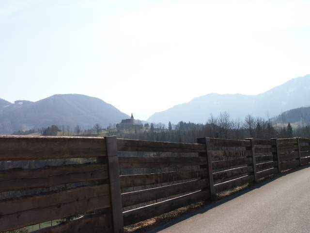
Tour gallery
Tour map and elevation profile
Minimum height 411 m
Maximum height 535 m
More about the tour author
|
|
toxy |
Comments

Bahn: Bahnhof Micheldorf (R,E) oder Kirchdorf (IC, 3km weiter) auf der Strecke Linz - Graz.
Auto: A9, aus N Abfahrt Inzersdorf (6km), aus S Abfahrt Klaus (9km)
Die Route beginnt im Ortszentrum (Billa, RAIKA)
Auto: A9, aus N Abfahrt Inzersdorf (6km), aus S Abfahrt Klaus (9km)
Die Route beginnt im Ortszentrum (Billa, RAIKA)
GPS tracks
Trackpoints-
GPX / Garmin Map Source (gpx) download
-
TCX / Garmin Training Center® (tcx) download
-
CRS / Garmin Training Center® (crs) download
-
Google Earth (kml) download
-
G7ToWin (g7t) download
-
TTQV (trk) download
-
Overlay (ovl) download
-
Fugawi (txt) download
-
Kompass (DAV) Track (tk) download
-
Track data sheet (pdf) download
-
Original file of the author (g7t) download
More about the tour author
|
|
toxy |
Add to my favorites
Remove from my favorites
Edit tags
Open track
My score
Rate