


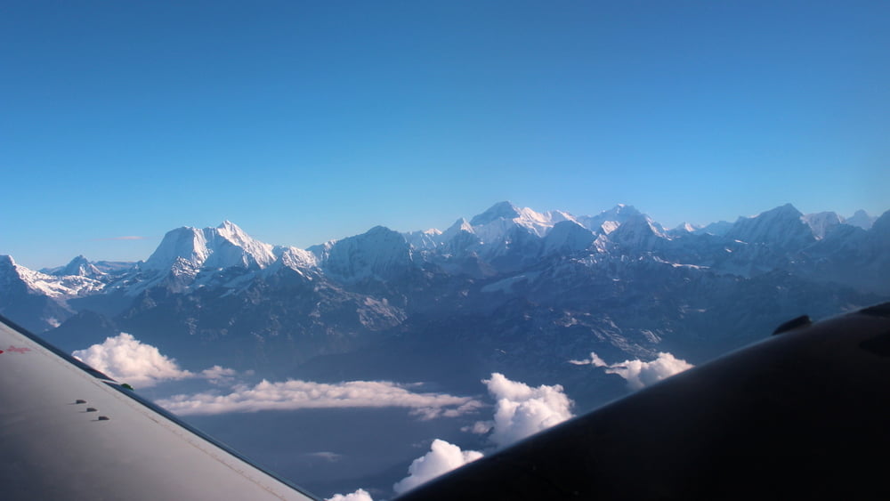
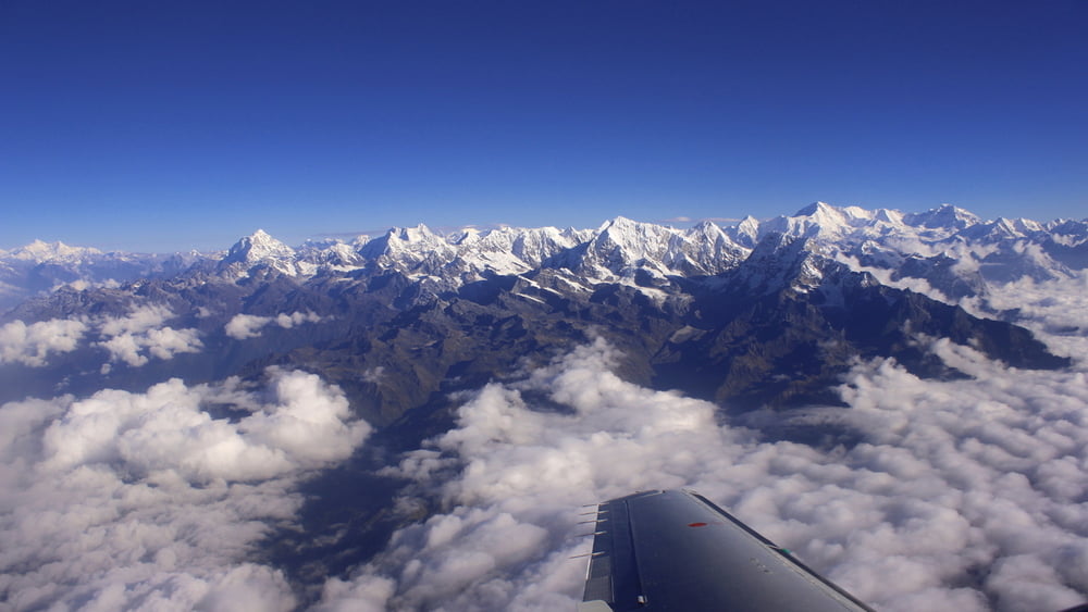
Dies ist ein Panoramaflug in den Himalaya.
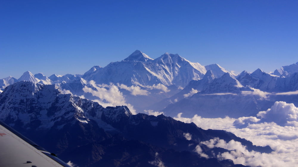
Man kann den Blick auf das Bergpanorama aus einer Flughöhe von 22000 ft geniessen. Den Mt. Everest erblickt man in einer Entfernung von etwa 40km.
Am frühen Morgen herscht in dem Inlandsterminal des Flughafen reges Treiben. Hunderte Touristen warten auf ihren Flieger zum Himalayarundflug. Von halb sieben an heben die sieben kleinen Flieger von Yeti Airlines im 5-Minuten-Takt ab. Der Flug wird mit einer Propellermaschine BAe Jetstream 41 durchgeführt. Mountain Flights werden außerdem auch von Buddha Air angeboten. Der Spass kostet etwa 200US$.
Further information at
http://www.yetiairlines.com/Tour gallery
Tour map and elevation profile
Minimum height 1317 m
Maximum height 6744 m
More about the tour author
|
|
Alu68 |
Comments

Start ist am Domestic Terminal in Kathmandu.
Tickets für den Flug sollte man sich schon rechtzeitig besorgen.
GPS tracks
Trackpoints-
GPX / Garmin Map Source (gpx) download
-
TCX / Garmin Training Center® (tcx) download
-
CRS / Garmin Training Center® (crs) download
-
Google Earth (kml) download
-
G7ToWin (g7t) download
-
TTQV (trk) download
-
Overlay (ovl) download
-
Fugawi (txt) download
-
Kompass (DAV) Track (tk) download
-
Track data sheet (pdf) download
-
Original file of the author (gpx) download
More about the tour author
|
|
Alu68 |
Add to my favorites
Remove from my favorites
Edit tags
Open track
My score
Rate