Login

Forgot your login?

Cookies have to be accepted!
Your browser's cookie functionality is disabled. Please enable this functionality.

Not a member yet?

Register now
Login

Available for registred users only

Log in to use this feature.

Forgot your login?

Cookies have to be accepted!
Your browser's cookie functionality is disabled. Please enable this functionality.

Not a member yet?

Register now
Filter
Categories
Advanced filters
  • Distance (km)
  • Height
Save filters Reset filter

TrackRank

QRCode

Technical data

Distance39,5 km Height514 m Way down506 m Duration02:30 h:m Date16.05.2015
Scores Author User Landscape Fun factor Fitness Technique

Statistics

411 Views Scores 33 Downloads Average
Rate
  • Track data sheet
  • Directions
  • Downloads

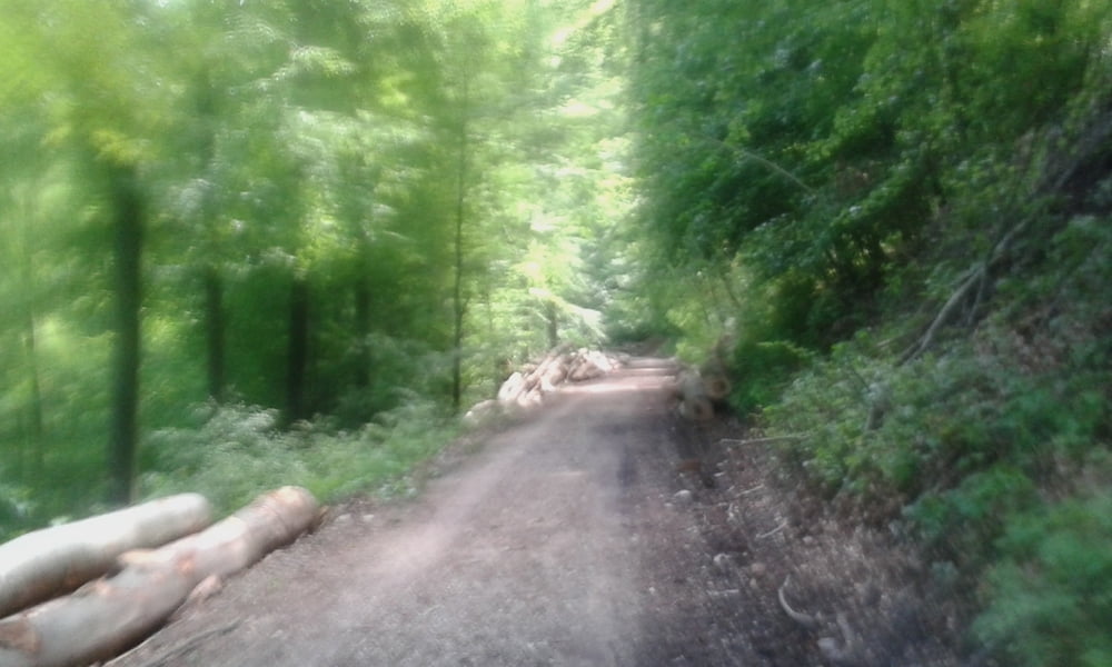
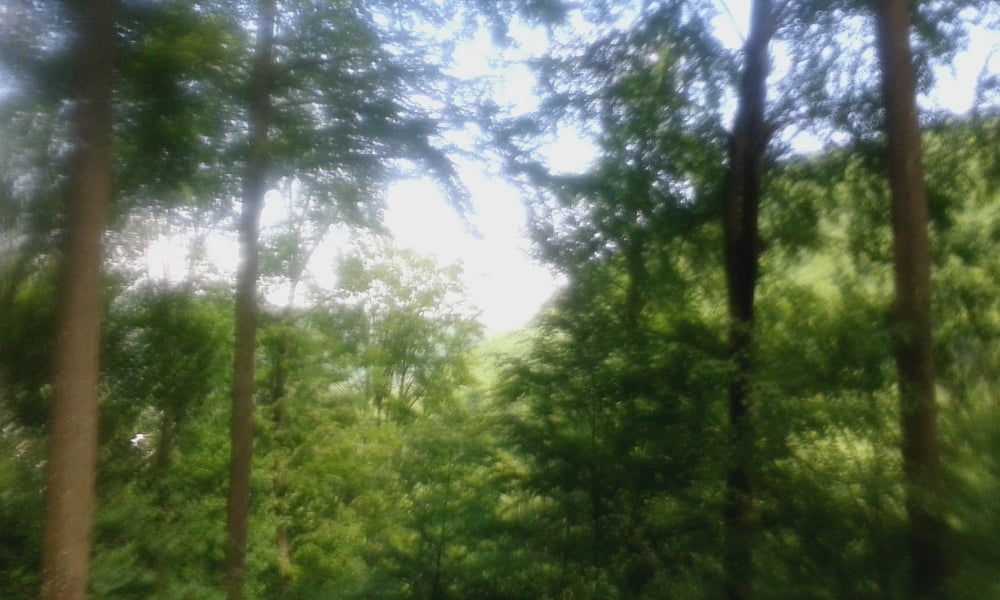
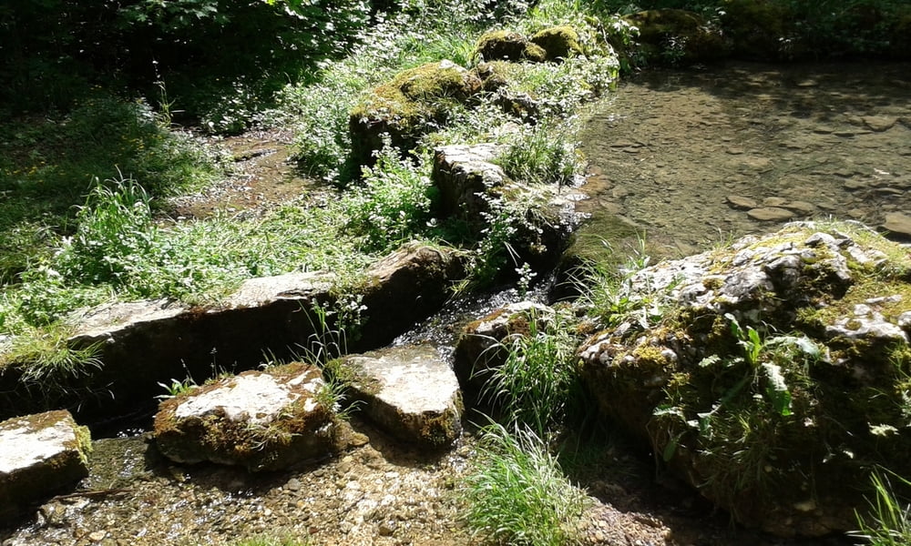
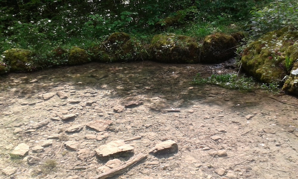
Start in Metzingen  duch das Ermstal nach Bad Urach dann über die Ziegelsteige nach oben auf die Alb.Durch Sirchingen zum Wasserfall.Die Singletrails zum Wasserbecken hinunter und dann zum Grünen Weg weiter nach Bad Urach.Durch den Ort und das Ermstal zurück nach Metzingen.


Tour gallery

Tour map and elevation profile

  • Open Street Map
  • Google
Minimum height 352 m Maximum height 777 m Detailed view

More about the tour author

Cokedealer
Member since 2013

Send private message

Comments

GPS tracks

Trackpoints
  • GPX / Garmin Map Source (gpx) download
  • TCX / Garmin Training Center® (tcx) download
  • CRS / Garmin Training Center® (crs) download
  • Google Earth (kml) download
  • G7ToWin (g7t) download
  • TTQV (trk) download
  • Overlay (ovl) download
  • Fugawi (txt) download
  • Kompass (DAV) Track (tk) download
  • Track data sheet (pdf) download
  • Original file of the author (gpx) download

More about the tour author

Cokedealer
Member since 2013

Send private message
Share track
Add to my favorites
Remove from my favorites
Edit tags
My score
Rate
Track: Ziegelsteige-Sirchinger Wasserfall
Type: Mountain bike
Distance: 39,5 km
Evaluated on:
Duration:
Day(s)
Hour(s)
Minute(s)
Score: Landscape Fun factor Fitness Technique