Login

Forgot your login?

Cookies have to be accepted!
Your browser's cookie functionality is disabled. Please enable this functionality.

Not a member yet?

Register now
Login

Available for registred users only

Log in to use this feature.

Forgot your login?

Cookies have to be accepted!
Your browser's cookie functionality is disabled. Please enable this functionality.

Not a member yet?

Register now
Filter
Categories
Advanced filters
  • Distance (km)
  • Height
Save filters Reset filter

TrackRank

QRCode

Technical data

Distance14,7 km Height520 m Way down568 m Duration03:30 h:m Date18.05.2015
Scores Author User Landscape Fun factor Fitness Technique

Statistics

960 Views 1 Score 79 Downloads 4.00 Average
Rate
  • Track data sheet
  • Directions
  • Downloads
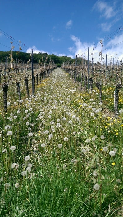
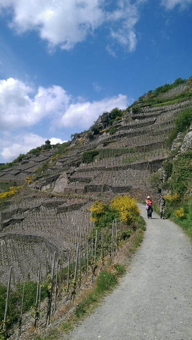
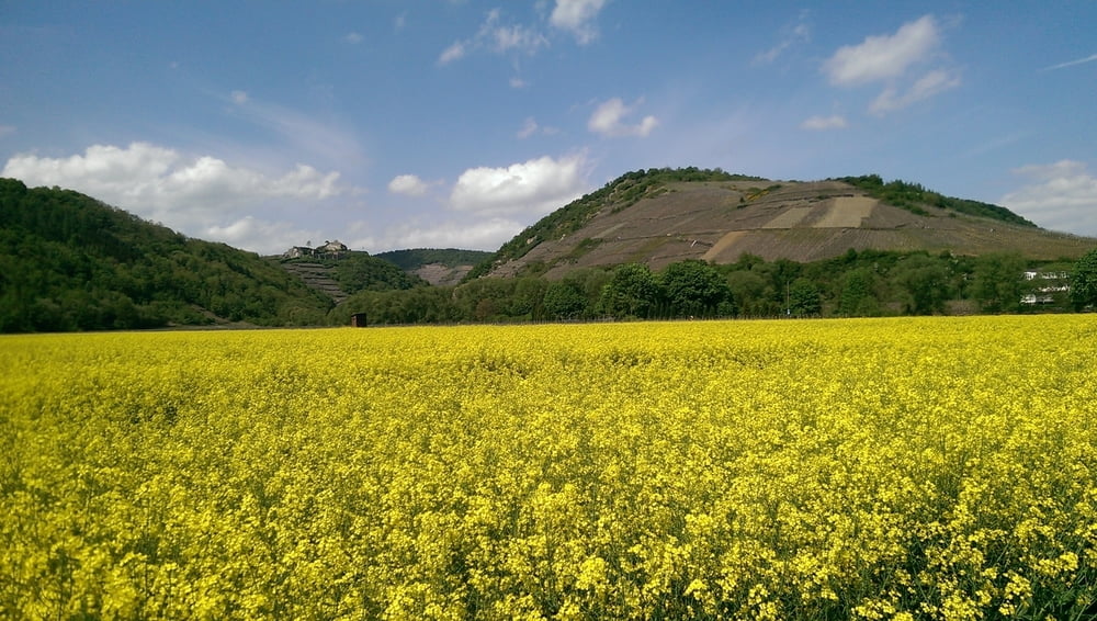
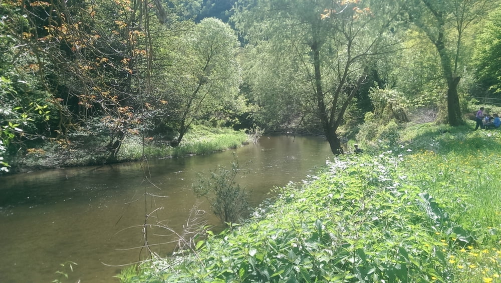
Die Runde beginnt und endet in Altenahr. Nach einem kurzen Abstecher auf die Burg Are geht's zunächst immer dem Rotweinwanderweg entlang an Mayschoß vorbei bis nach Rech. Hier wird die Ahr überquert. Auf dem insgesamt nicht ganz so gut markierten Ahrtalweg geht's dann wieder zurück. Das letzte Stück folgt man dem neu angelegten Ahrtalradweg und gelangt so wieder zum Ausgangspunkt.

Tour gallery

Tour map and elevation profile

  • Open Street Map
  • Google
Minimum height 79 m Maximum height 302 m Detailed view

More about the tour author

sstraesser
Member since 2012

Send private message

Comments

GPS tracks

Trackpoints
  • GPX / Garmin Map Source (gpx) download
  • TCX / Garmin Training Center® (tcx) download
  • CRS / Garmin Training Center® (crs) download
  • Google Earth (kml) download
  • G7ToWin (g7t) download
  • TTQV (trk) download
  • Overlay (ovl) download
  • Fugawi (txt) download
  • Kompass (DAV) Track (tk) download
  • Track data sheet (pdf) download
  • Original file of the author (gpx) download

More about the tour author

sstraesser
Member since 2012

Send private message
Share track
Add to my favorites
Remove from my favorites
Edit tags
My score
Rate
Track: Rundweg Altenahr-Rech
Type: Hiking
Distance: 14,7 km
Evaluated on:
Duration:
Day(s)
Hour(s)
Minute(s)
Score: Landscape Fun factor Fitness Technique