


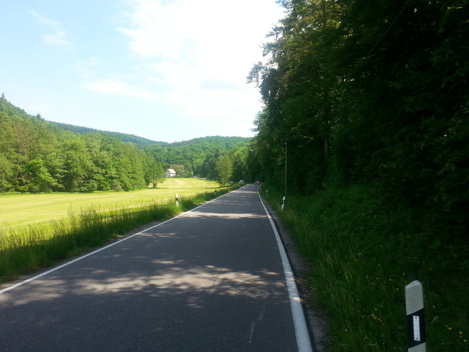
Start am TSV Sportplatz,dann über Feldwege in Richtung Freiberg runter zum Neckar.An Marbach vorbei über den Radweg über Murr,Kleinbottwar,Großbottwar,Oberstenfeld nach Gronau. Dann geht es bergauf nach Prevorst zum Stocksberg. Danach schöne,flotte Abfahrt über Etzelswenden wieder zurück und über Gronau dengleichen Weg zurück bis nach Marbach.Nach überqueren den Neckar´s dann aber an diesem entlang bis Hoheneck und dann,nach dem Heilbad, rechts hoch und am Favoritepark vorbei zurück zum Parkplatz.
Tour gallery

Tour map and elevation profile
Minimum height 194 m
Maximum height 522 m
More about the tour author
|
|
Voitl-Fan |
Comments

GPS tracks
Trackpoints-
GPX / Garmin Map Source (gpx) download
-
TCX / Garmin Training Center® (tcx) download
-
CRS / Garmin Training Center® (crs) download
-
Google Earth (kml) download
-
G7ToWin (g7t) download
-
TTQV (trk) download
-
Overlay (ovl) download
-
Fugawi (txt) download
-
Kompass (DAV) Track (tk) download
-
Track data sheet (pdf) download
-
Original file of the author (gpx) download
More about the tour author
|
|
Voitl-Fan |
Add to my favorites
Remove from my favorites
Edit tags
Open track
My score
Rate