


Horton Plains Trekking - World's end
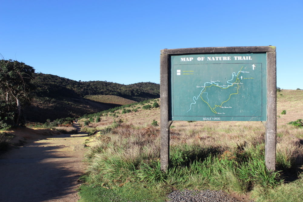
Dies ist einer kleiner populärer Rundwanderweg im Horton Plains Nationalpark. Die Horton Plains ist eine Hochebene im Zentralen Hochland auf etwa 2000m Höhe.
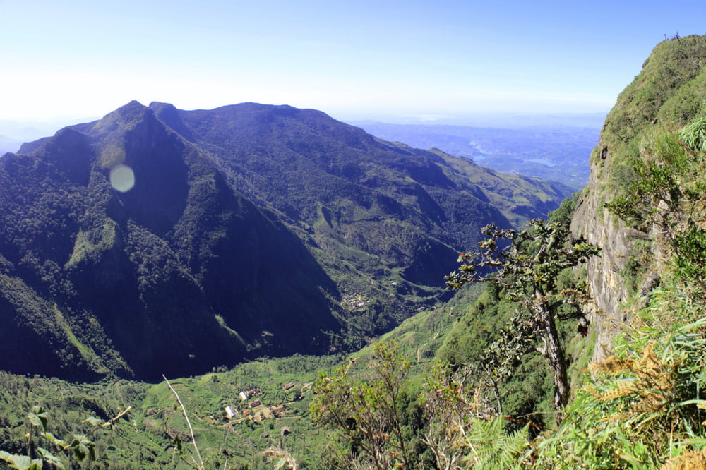
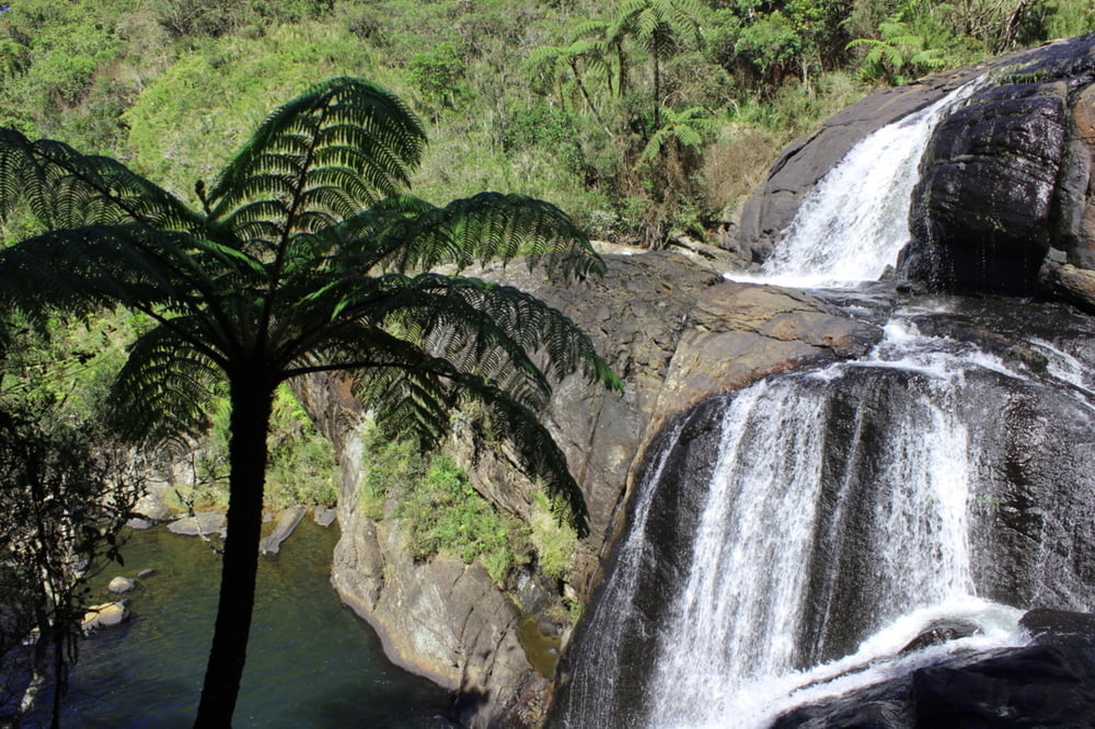
Man sollte den Weg im Uhrzeigersinn gehen, dann erreicht man zunächst den kleineren Aussichtspunkt Small World's end mit einer Kliffhöhe von 1000ft 330m. Später kommt man dann zum eigentlichen World's end mit einer Kiffhöhe von 4000ft 1200m. Auf dem Weg liegt auch noch der Baker's Waterfall.
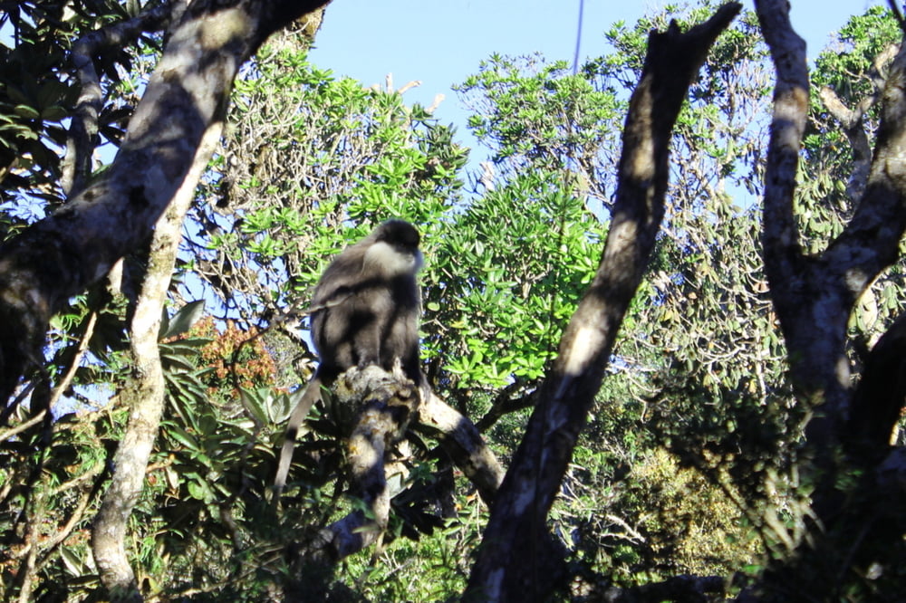
Aufgrund der vielen Besucher wird man bis auf ein paar Languren nicht viel zu Gesicht bekommen. Am Eingang zum Wanderweg wird zur Sicherung der Sauberkeit auf Plastikfolien kontrolliert. Man kann Wasserflaschen mitnehmen, jedoch wird die Folie entfernt.
Die Ticketschalter befinden sich schon vor dem eigentlichen Wanderweg auf der Straße zwischen Pattipola und Ohiya.
Further information at
http://www.srilankaecotourism.com/horton_plains.htmTour gallery
Tour map and elevation profile
Minimum height 2039 m
Maximum height 2160 m
More about the tour author
|
|
Alu68 |
Comments

Der Wanderweg liegt an der Straße zwischen Ambewela - Pattipola - Ohiya - Boralanda.
Die Bahn hält in Pattipola und Ohiya.
GPS tracks
Trackpoints-
GPX / Garmin Map Source (gpx) download
-
TCX / Garmin Training Center® (tcx) download
-
CRS / Garmin Training Center® (crs) download
-
Google Earth (kml) download
-
G7ToWin (g7t) download
-
TTQV (trk) download
-
Overlay (ovl) download
-
Fugawi (txt) download
-
Kompass (DAV) Track (tk) download
-
Track data sheet (pdf) download
-
Original file of the author (gpx) download
More about the tour author
|
|
Alu68 |
Add to my favorites
Remove from my favorites
Edit tags
Open track
My score
Rate