Login

Forgot your login?

Cookies have to be accepted!
Your browser's cookie functionality is disabled. Please enable this functionality.

Not a member yet?

Register now
Login

Available for registred users only

Log in to use this feature.

Forgot your login?

Cookies have to be accepted!
Your browser's cookie functionality is disabled. Please enable this functionality.

Not a member yet?

Register now
Filter
Categories
Advanced filters
  • Distance (km)
  • Height
Save filters Reset filter

TrackRank

QRCode

Technical data

Distance62,9 km Height874 m Way down818 m Duration04:00 h:m Date26.05.2015
Scores Author Landscape Fun factor Fitness Technique

Statistics

256 Views Scores 16 Downloads Average
Rate
  • Track data sheet
  • Directions
  • Downloads
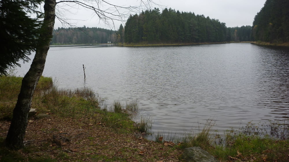
Cesta vás zavede do nejhlubší části České Kanady, kde jsou zaniklé obce. U hranic s Rakouskem se kdosi snaží označit lesní cesty jako soukromý pozemek. Bez problémů jsme projeli.  
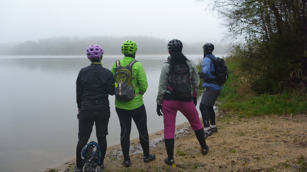
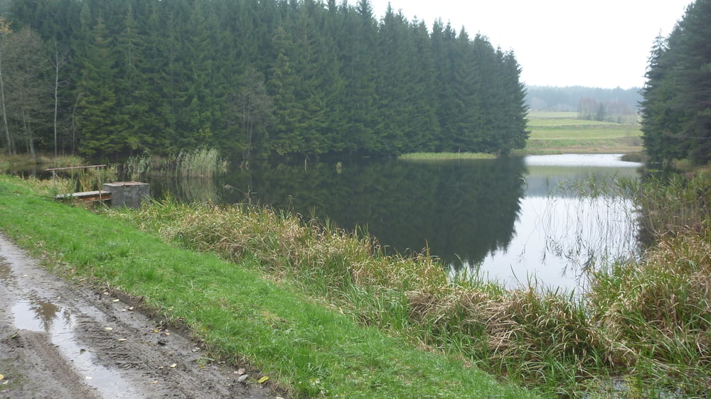
Tour gallery

Tour map and elevation profile

  • Open Street Map
  • Google
Minimum height 497 m Maximum height 714 m Detailed view

More about the tour author

supikx
Member since 2015

Send private message

Comments

Start je v Kunžaku. 

GPS tracks

Trackpoints
  • GPX / Garmin Map Source (gpx) download
  • TCX / Garmin Training Center® (tcx) download
  • CRS / Garmin Training Center® (crs) download
  • Google Earth (kml) download
  • G7ToWin (g7t) download
  • TTQV (trk) download
  • Overlay (ovl) download
  • Fugawi (txt) download
  • Kompass (DAV) Track (tk) download
  • Track data sheet (pdf) download
  • Original file of the author (gpx) download

More about the tour author

supikx
Member since 2015

Send private message
Share track
Add to my favorites
Remove from my favorites
Edit tags
My score
Rate
Track: Česká Kanada-konec světa
Type: Mountain bike
Distance: 62,9 km
Evaluated on:
Duration:
Day(s)
Hour(s)
Minute(s)
Score: Landscape Fun factor Fitness Technique