


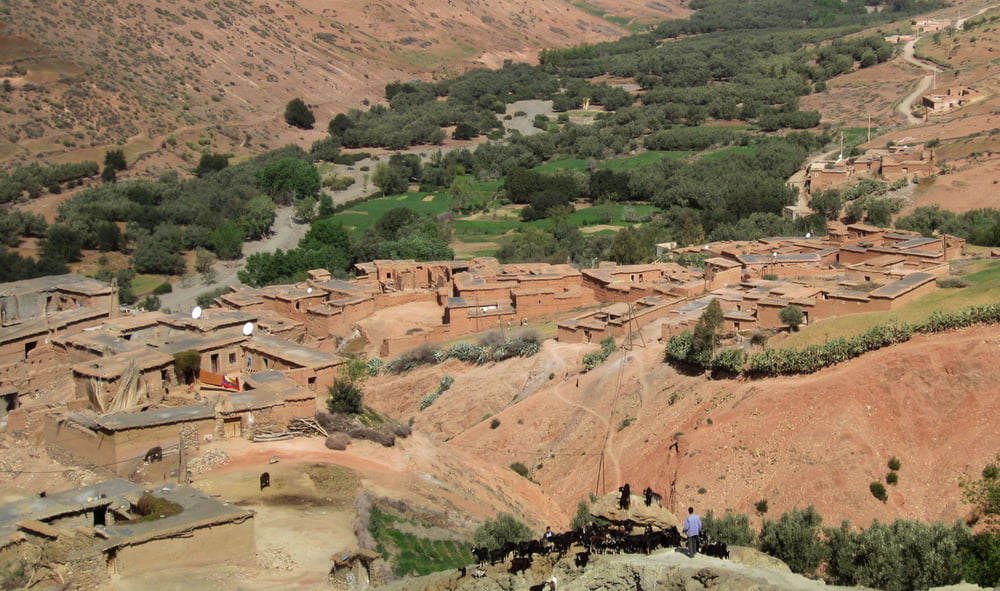
Einfahrtour. Es geht abwechslungsreich durch Felder und Dörfer entlang der ersten Hügel des Atlasgebirges.
Leichte Rundtour gegen Uhrzeigersinn, 14% Asphalt, 76% Sandstrasse, 10% Singletrail
Die erste Hälfte auf Wegerln und Sandstrassen durch das "Flachland". Zurück mit steten "Auf und Ab" über Sandstrassen am Hang entlang. Am Schluss gibts einen feinen Singletrail (S1) und kurz Asphalt zurück zum Ausgangspunkt. Hier gibt es ein empfehlenswertes Restaurant mit marokanischer Küche (Mamouchthka)
Einkehr: siehe POI, http://chez-mamouchthka.com/
Start+Ende: Ourika
Auto: Marrakesch – Strassen P2012 – P2010
Singletrail – Schwierigkeitsbewertung: http://www.singletrail-skala.de
Bei zweifelhaften Abzweigungen (die im spitzen Winkel) sind im Track Hackerl in die abzubiegende Richtung gezeichnet.
Tour gallery


Tour map and elevation profile
Minimum height 878 m
Maximum height 1253 m
More about the tour author

|
Comments

Auto: Marrakesch – Strassen P2012 – P2010
GPS tracks
Trackpoints-
GPX / Garmin Map Source (gpx) download
-
TCX / Garmin Training Center® (tcx) download
-
CRS / Garmin Training Center® (crs) download
-
Google Earth (kml) download
-
G7ToWin (g7t) download
-
TTQV (trk) download
-
Overlay (ovl) download
-
Fugawi (txt) download
-
Kompass (DAV) Track (tk) download
-
Track data sheet (pdf) download
-
Original file of the author (gpx) download
More about the tour author
|
|
Add to my favorites
Remove from my favorites
Edit tags
Open track
My score
Rate