


Leichte Rundtour mit maßvollen Steigungen in ein Tal rein und wieder raus.
Rundtour gegen Uhrzeigersinn, 53% Asphalt, 47% Sandstrasse
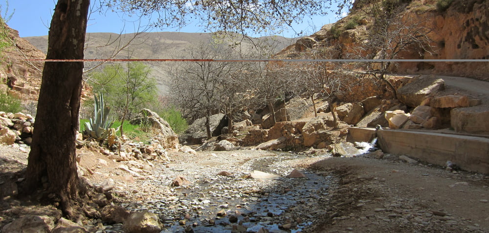
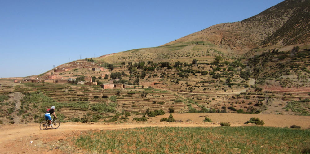
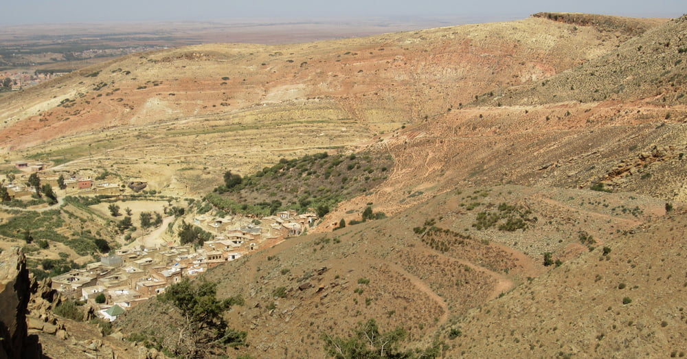
Auf der rechten Seite bequem auf Asphalt in das Anoughaltal rein - und auf der linken Seite, auf etwas holpriger Sandstraße wieder raus. Es geht hübsch durch karge Landschaft und durch mehrere Berberdörfer. Die Tour kann man auch um einiges verlängern, denn die Straße geht vor dem Umkehrpunkt bei der Flussüberquerung weiter ins Tal nach hinten. Bei der Rückfahrt zum Ausgangspunkt gibt es kleinere Gegenanstiege.
Einkehr: nur in Amizmiz
Start+Ende: Amizmiz
Auto: Marrakesch – Strassen R212 – P2013 – P2009
Anmerkungen: Sollte es vorher länger und heftig geregnet haben, kann es sein, dass es eine„barfuss Flussüberquerung“ gibt.
Bei zweifelhaften Abzweigungen (die im spitzen Winkel) sind im Track Hackerl in die abzubiegende Richtung gezeichnet.
Tour gallery

Tour map and elevation profile
Minimum height 949 m
Maximum height 1484 m
More about the tour author

|
Comments

Auto: Marrakesch – Strassen R212 – P2013 – P2009
GPS tracks
Trackpoints-
GPX / Garmin Map Source (gpx) download
-
TCX / Garmin Training Center® (tcx) download
-
CRS / Garmin Training Center® (crs) download
-
Google Earth (kml) download
-
G7ToWin (g7t) download
-
TTQV (trk) download
-
Overlay (ovl) download
-
Fugawi (txt) download
-
Kompass (DAV) Track (tk) download
-
Track data sheet (pdf) download
-
Original file of the author (gpx) download
More about the tour author
|
|
Add to my favorites
Remove from my favorites
Edit tags
Open track
My score
Rate