


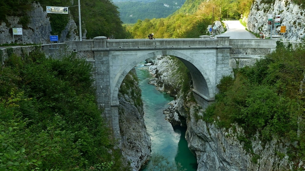
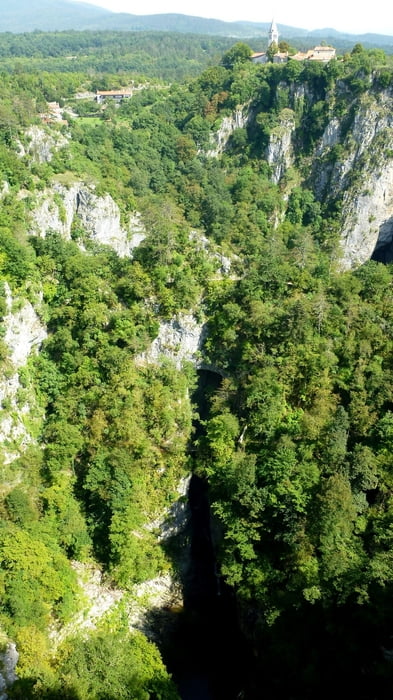
Unsere Tour 2015. Von Bischofshofen/Österreich über Sankt Margarethen, Eisentratten, Döbrach, Arnoldstein nach Kranjska Gora/Slowenien. Weiter durchs Soca-Tal nach nach Kobarid und Tolmin. Dann quer durch die Slowenien, durch etliche, für mich unaussprechliche, Orte bis nach Piran am Meer. Von dort Richtung Italien über Trieste zum Flughafen Trieste. 11 Tage haben wir geplant.
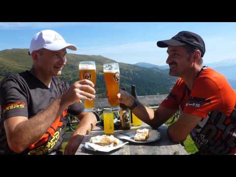
Tour gallery


Tour map and elevation profile
Minimum height -4 m
Maximum height 2067 m
More about the tour author
|
|
GrappaBikers |
Comments

Mit dem Zug von München bis Bischofshofen.
Zurück mit dem Flugzeug von Trieste nach München.
GPS tracks
Trackpoints-
GPX / Garmin Map Source (gpx) download
-
TCX / Garmin Training Center® (tcx) download
-
CRS / Garmin Training Center® (crs) download
-
Google Earth (kml) download
-
G7ToWin (g7t) download
-
TTQV (trk) download
-
Overlay (ovl) download
-
Fugawi (txt) download
-
Kompass (DAV) Track (tk) download
-
Track data sheet (pdf) download
-
Original file of the author (gpx) download
More about the tour author
|
|
GrappaBikers |
Add to my favorites
Remove from my favorites
Edit tags
Open track
My score
Rate