


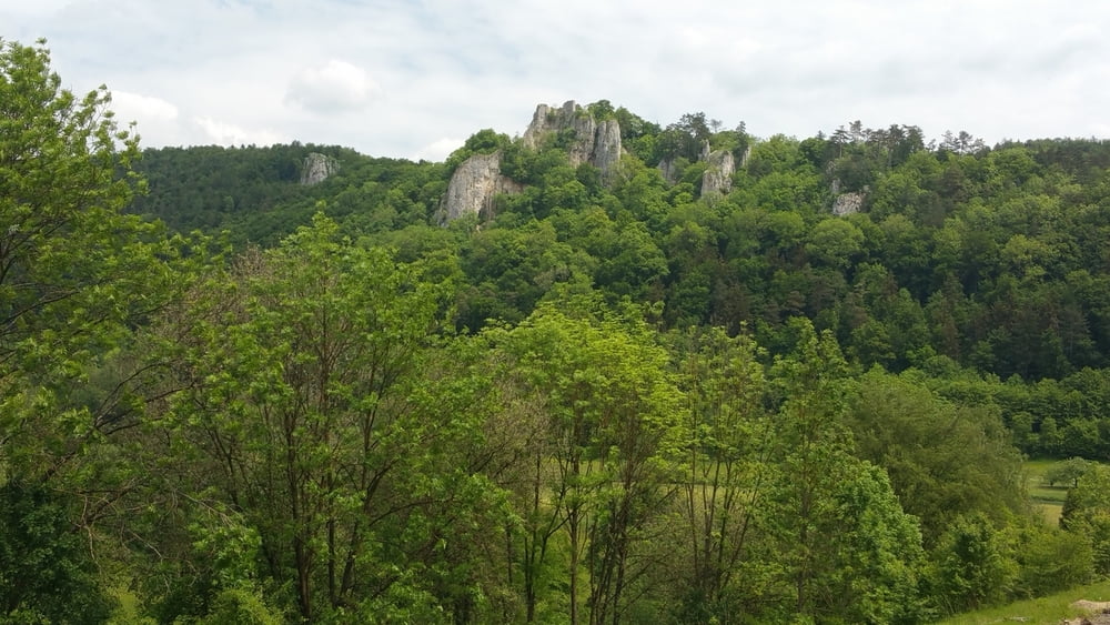
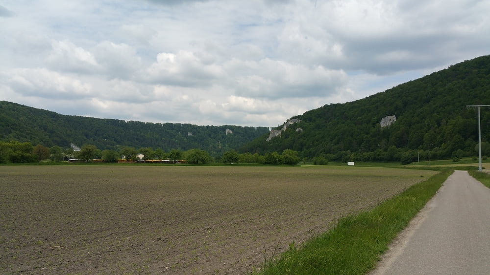
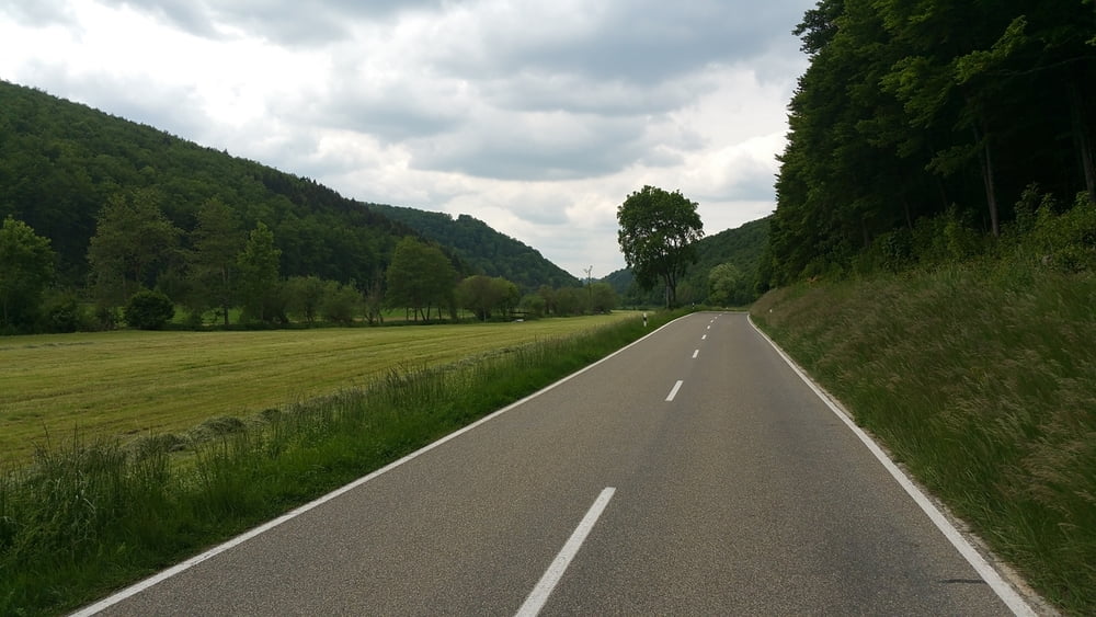
Die Tour führt von Ulm Böfingen nördlich an Ulm vorbei ins Blautal. Von Blaubeuren fahren wir weiter dem Achtal entlang nach Schelklingen und folgen dort dem lauschigen Schmiechtal über den Albrücken, vorbei an dem ehemaligen Truppenübungsplatz, bis nach Münsingen.
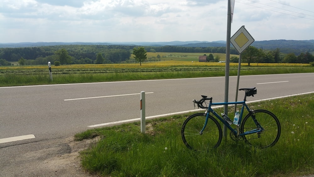
Hinter Dottingen genießen wir den Ausblick über die westliche Alb bevor wir über einsame Radwege am Gestüt St. Johann vorbei über die Eninger Steige die Alb verlassen. Gemütlich radeln wir weiter bis nach Betzingen, wo unserer Tour endet.
Tour gallery
Tour map and elevation profile
Minimum height 365 m
Maximum height 837 m
More about the tour author

|
laodzu |
Comments

GPS tracks
Trackpoints-
GPX / Garmin Map Source (gpx) download
-
TCX / Garmin Training Center® (tcx) download
-
CRS / Garmin Training Center® (crs) download
-
Google Earth (kml) download
-
G7ToWin (g7t) download
-
TTQV (trk) download
-
Overlay (ovl) download
-
Fugawi (txt) download
-
Kompass (DAV) Track (tk) download
-
Track data sheet (pdf) download
-
Original file of the author (gpx) download
More about the tour author
|
|
laodzu |
Add to my favorites
Remove from my favorites
Edit tags
Open track
My score
Rate